
Elevation 710 m (2,325 ft) Population 671 (2013) | Region Black Sea District Mengen Time zone EET (UTC+2) Area code 0374 | |
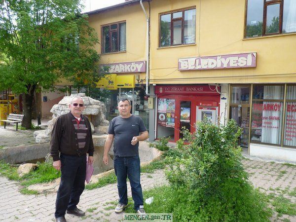 | ||
Pazarköy (literally "market village" in Turkish) is a small belde (town) in Bolu Province, Turkey.
Contents
Map of 14860 Pazark%C3%B6y Buca%C4%9F%C4%B1%2FMengen%2FBolu, Turkey
Geography
Pazarköy is in the Mengen district of Bolu Province, Turkey. It is situated at 40°56′N 32°11′E along the Mengen creek. The distance to Mengen is 10 kilometres (6.2 mi) and to Bolu 70 kilometres (43 mi). The population of Pazarköy was 671 as of 2013. The town, being close to the North Anatolian fault, has been hit by earthquakes several times.
History
The area around Pazarköy was a part of Bithynia in antiquity and the Byzantine Empire in the early Middle Ages. The area was annexed by Beyazıt I of the Ottoman Empire in 1395. After a brief Isfendiyarid occupation during Ottoman Interregnum between 1402 and 1413, it was recaptured by Murat II and continued as a part of Turkey thereafter. In 1992, it was declared a seat of township.
Economy
Due to lack of adequate agricultural land, the population of the town is declining. Some citizens prefer to work in other Turkish cities as cooks (the trademark profession of the Mengen district). Others work in forestry and forest-based industry .