
 | ||
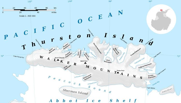
Payne Glacier (71°55′S 96°42′W) is a glacier in the north part of Evans Peninsula, Thurston Island. It flows into the sea east of Cape Walden. Named by Advisory Committee on Antarctic Names (US-ACAN) after Photographer's Mate J.B. Payne, aircrewman in the Eastern Group of U.S. Navy Operation Highjump, which obtained aerial photographs of Thurston Island and adjacent coastal areas, 1946-47.
Contents
Map of Payne Glacier, Antarctica
Maps
This article incorporates public domain material from the United States Geological Survey document "Payne Glacier" (content from the Geographic Names Information System).
References
Payne Glacier Wikipedia(Text) CC BY-SA