
Length 20 km (12 mi) Highest elevation 452 m (1,483 ft) Elevation 452 m | Width 12.5 km (7.77 mi) Highest point Kupol Frolova Area 151 km² | |
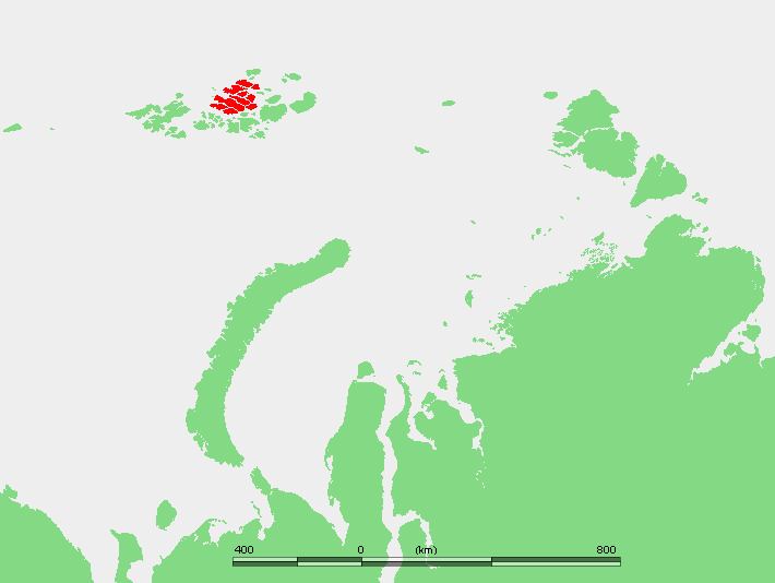 | ||
Payer Island (Russian: oстров Пайера, ostrov Payera) is an island in Franz Josef Land, Russia.
Contents
Map of Payer Island, Russia
This island was named after Julius Johannes Ludovicus von Payer an Austro-Hungarian arctic explorer and an Arctic landscape artist, one of the leaders of the Austro-Hungarian North Pole Expedition.
Geography
Payer Island is part of the Zichy Land subgroup of the Franz Josef Archipelago. Its area is 151 km² and it lies to the SE of Jackson Island. The headland at the northern end is Mys Nordik. The center of the island is covered by an ice dome named Kupol Frolova (Купол Фролова). Its highest point reaches 452 m (1,483 ft).
Adjacent islands
Very close to Payer Island, off its easternmost point, lie some small islands:
References
Payer Island Wikipedia(Text) CC BY-SA