
Number of airports 1 | ||
 | ||
Restaurants Good Year Seafood Village, Rakuzen (Tampines), Mkac‑Ace Pte Ltd, Habiba Muslim Food @T5, Beng Poh Eating House | ||
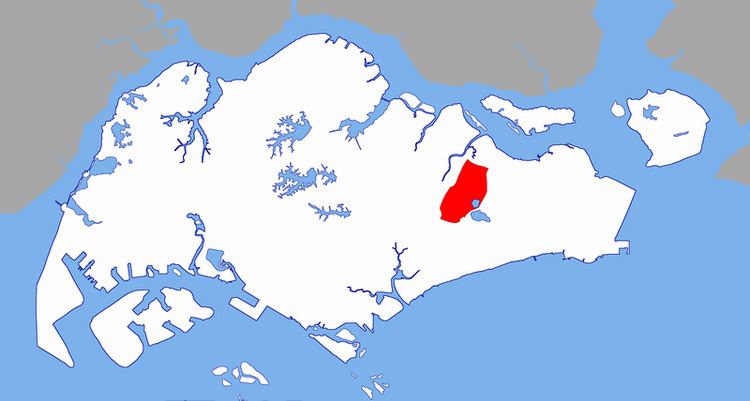
Paya Lebar is a planning area located in the East Region of Singapore, bordered by Hougang to the west, Sengkang to the northwest, Tampines to the east, Bedok to the south and Pasir Ris to the north.
Contents
- Map of Paya Lebar Singapore
- Park place residences at paya lebar
- Etymology and history
- Politics
- References
Map of Paya Lebar, Singapore
Park place residences at paya lebar
Etymology and history
Paya Lebar was a large, swampy area close to the Kallang River, hence its name. Paya means "swamp" and lebar means "wide" in Malay. This was an extensive and notorious squatter district, whose inhabitants engage in cultivating market produce, including pig and poultry rearing.
One of the first persons to colonise this area was Richard Owen Norris (died 1905), who bought part of the area in 1865 and lived here with his family.
The admiralty wireless station was in this district in 1915.
In 1955, Singapore International Airport (commonly referred to as "Paya Lebar Airport") was opened and became the area's chief landmark, along with a number of housing estates, schools and factories.
Paya Lebar Street was officially named in 1958, while Paya Lebar Way was named in 1972.
Politics
Paya Lebar is under Aljunied GRC and Marine Parade GRC, served by Workers' Party of Singapore and People's Action Party respectively.One of the MPs for Paya Lebar is Mr Low Thia Khiang , a veteran opposition leader.