
OS grid reference NT9353 Sovereign state United Kingdom Postcode district TD15 Local time Saturday 6:15 AM | Post town BERWICK-UPON-TWEED Dialling code 01289 | |
 | ||
Weather 2°C, Wind SW at 13 km/h, 78% Humidity Lieutenancy areas Scottish Borders, Berwickshire | ||
Paxton is a small village near the B6461 and the B6460, in the pre-1975 ancient county of Berwickshire, now an administrative area of the Scottish Borders region of Scotland. It lies 1 mile west of the border with Northumberland, near Berwick-upon-Tweed. It is a traditional, country village surrounded by farmland, and its closest market towns are Duns and Berwick-upon-Tweed.
Contents
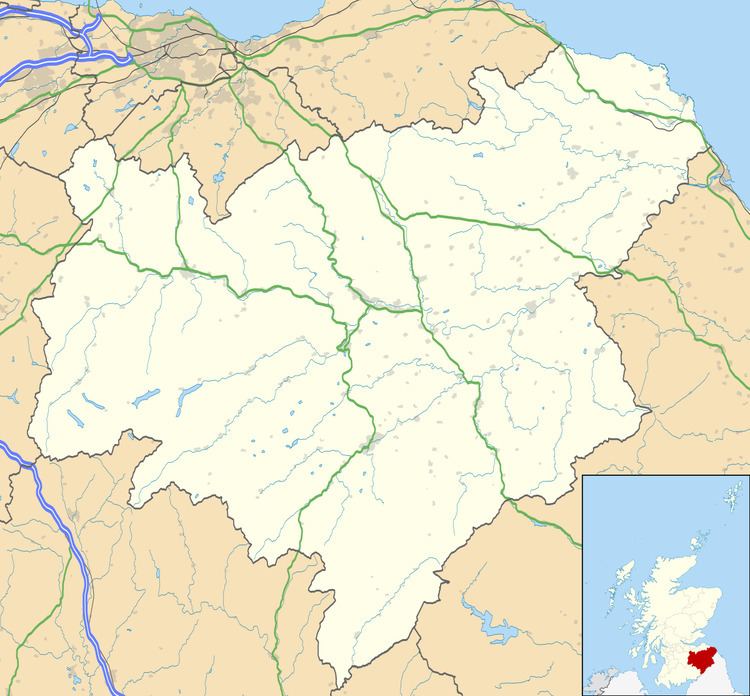
Map of Paxton, Berwick-upon-Tweed, UK
Paxton is beside the River Tweed which is the border at that point and on Whiteadder Water. Paxton is also the location of Paxton House.
Linking Scotland and England, the nearby Union Chain Bridge, opened in 1820, was the longest wrought iron suspension bridge in the world. It was also the first of its kind in Britain.
History
Traditionally home to villagers working on the land on in the salmon fishery on the Tweed, Paxton is said to be the birthplace of the song Robin Adair:
Paxton's a fine snug place, Robin Adair,
It's a wondrous couthie place, Robin Adair;
Let Whiteadder rin a spate,
Or the wind blow at ony rate,
Yet I'll meet thee on the gait, Robin Adair.