
 | ||
Restaurants Adkalá Pizzas, Esquina del Ceviche, Adkalá pizzas Escazú, Mike's Buffalo Wings Cr | ||
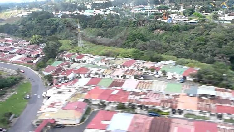
Pavas District, ninth of its kind in San José Canton, is the most populated of 470 districts in Costa Rica. The district comprises Tobías Bolaños International Airport, San José's domestic airport.
Contents
- Map of Pavas District San JosC3A9 Costa Rica
- Geography and Demography
- District Information
- Education
- References
Map of Pavas District, San Jos%C3%A9, Costa Rica
Geography and Demography
Pavas District is adjacent to Escazú Canton to the south, and to Uruca and Mata Redonda districts to the north and east respectively. Pavas is also the largest district in San José Canton, with 9.34 km². The population on December 31, 2008 is of 88,684 inhabitants, the largest in between Costa Rican districts. This figure is even larger than the average for cantons; just 12 of 81 cantons had more inhabitants than Pavas District at the time (the district had 9,495.07 inhabitants per km² by that date).
District Information
Pavas District includes the "barrios" (or neighbourhoods) of Aeropuerto, Alfa, Bribri, Favorita Norte, Favorita Sur, Geroma, Gerona, Hispana, Libertad, Lomas del Río, Llanos del Sol, María Reina, Metrópolis, Pavas Centro, Residencia del Oeste, Rincón Grande, Rohrmoser, Rotonda, San Pedro, Santa Bárbara, Santa Catalina, Tajo, Triángulo, Villa Esperanza, and Zona Industrial.
Education
International schools include: