
Width 15 mi (24 km) E-W District Sevier County, Utah District Millard County, Utah | Counties Millard and Sevier Country United States of America | |
 | ||
Peak Mine Camp Peak (Pavant Range
center, west
(Millard County)) Length 50 mi (80 km) SSW x NNE Region Great Basin Desert, southeast Cities Fillmore, UT, Richfield, UT &
Maple Grove, UT Similar Pahvant Butte, Cove Fort, Mineral Mountains, Utah Territorial Statehouse, Mount Dutton | ||
The Pavant Range (also Pahvant) is a mountain range in central Utah east of Fillmore. The range is named for the Pahvant tribe, a branch of the Ute Indians. The tallest peak is Mine Camp Peak at 10,222 feet (3,116 m). Most of the land in the Pavant range is part of Fishlake National Forest.
Contents
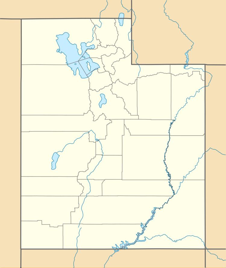
Map of Pahvant Range, Utah, USA
Richfield lies in the Sevier River valley to the southeast of the range and Fillmore lies in the Pavant Valley along the northwest side of the range.
The Pavant Range merges into the Tushar Mountains on the south.
TransportationEdit
Interstate 15 crosses the extreme north end of the range at Scipio pass, near Scipio. Interstate 70 crosses at a pass between the Pavant Range and the Tushar Mountains to the south.
MeteoriteEdit
Iron meteorite fragments with a mass of 240 grams (8.5 oz) named the Salina meteorite were found in the Pavant Range in 1908.