
Country United States Time zone Pacific (PST) (UTC-8) Local time Friday 7:01 PM | Community services district established 1961 Area code(s) 760, 442 | |
 | ||
Weather 17°C, Wind W at 6 km/h, 67% Humidity | ||
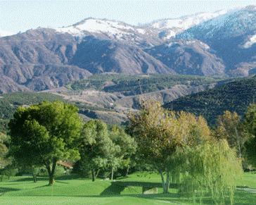
Pauma Valley is a geographic valley, and an unincorporated community between Valley Center and Palomar Mountain in San Diego County, California. The name also refers to the agricultural region comprising citrus and avocado groves, and location of several Indian Reservations, a country club, and tribal casinos.
Map of Pauma Valley, CA 92061, USA
California Route 76 crosses the length of the Pauma Valley and through the community of Pauma Valley, on its route between the coast in Oceanside and County Route 371 near Warner Springs. The valley is at the western base of the Palomar Mountains
The headquarters of the Pauma Band of Luiseno Mission Indians and La Jolla Band of Luiseno Indians are located in Pauma Valley.
References
Pauma Valley, California Wikipedia(Text) CC BY-SA