
Population (1999) 981 Area 11.23 km² | Canton Paulhaguet Time zone CET (UTC+1) | |
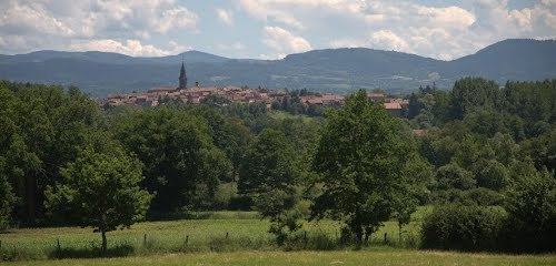 | ||
Paulhaguet is a commune in the Haute-Loire department in south-central France.
Contents
Map of 43230 Paulhaguet, France
Geography
The Senouire flows northwestward through the southern part of the commune, crosses the town, then flows northward through the commune.
References
Paulhaguet Wikipedia(Text) CC BY-SA