
Area 362.6 km² | Time zone BST (UTC+6) | |
 | ||
Website Official Map of the Patuakhali Sadar Upazila | ||
Patuakhali Sadar (Bengali: পটুয়াখালি সদর) is an Upazila of Patuakhali District in the Division of Barisal, Bangladesh.
Contents
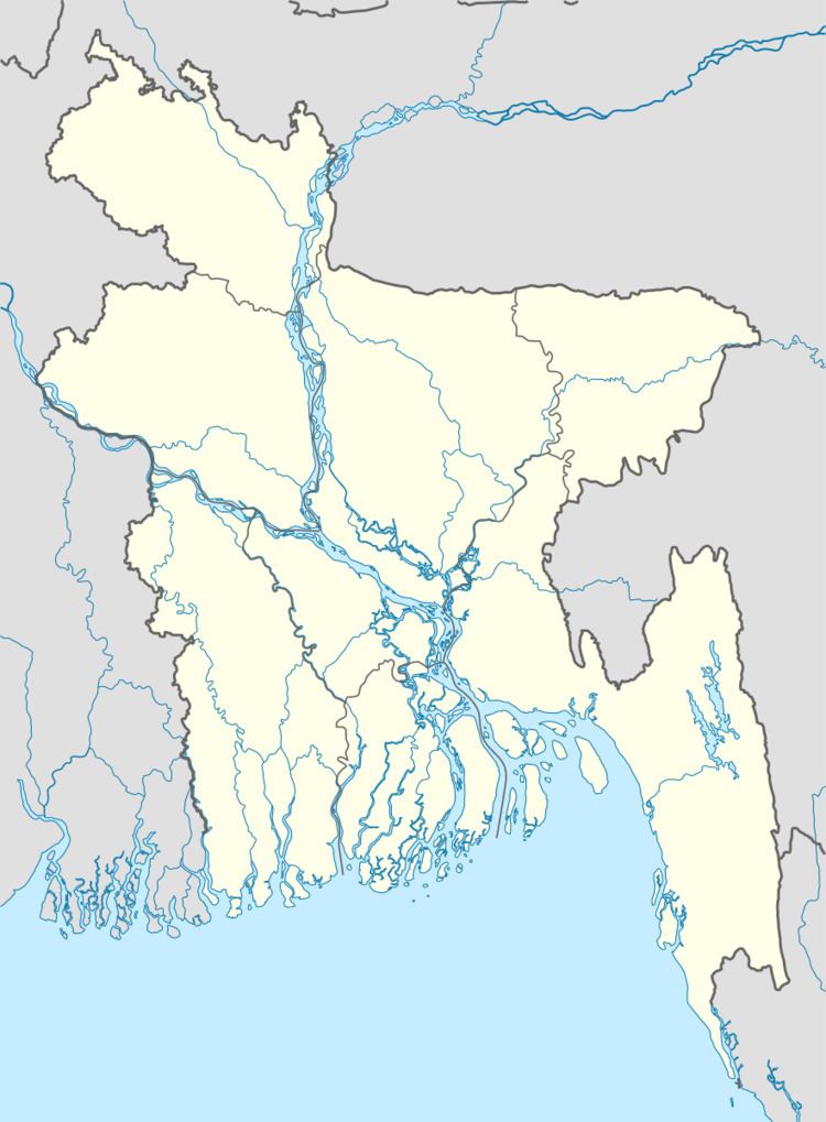
Map of Patuakhali Sadar Upazila, Bangladesh
Geography
Patuakhali Sadar is located at 22.3542°N 90.3181°E / 22.3542; 90.3181 . It has 55,194 households and a total area of 362.62 km².
Demographics
According to the 1991 Bangladesh census, Patuakhali Sadar had a population of 306,517. Males constituted 50.12% of the population, and females 49.88%. The population aged 18 or over was 152,588. Patuakhali Sadar had an average literacy rate of 42.6% (7+ years), compared to the national average of 32.4%.
Administration
Patuakhali Sadar has 12 Unions/Wards, 101 Mauzas/Mahallas, and 124 villages. The unions are:
References
Patuakhali Sadar Upazila Wikipedia(Text) CC BY-SA