
Vehicle registration UP Elevation 84 m Local time Saturday 12:54 AM | Time zone IST (UTC+5:30) Website up.gov.in Population 10,788 (2011) | |
 | ||
Weather 25°C, Wind N at 2 km/h, 55% Humidity | ||
Patti is a town and a nagar panchayat in Pratapgarh district in the Indian state of Uttar Pradesh.
Contents
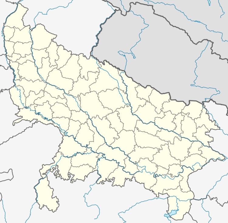
Map of Patti, Uttar Pradesh 230135
Geography
Patti is located at 25.92°N 82.2°E / 25.92; 82.2. It has an average elevation of 84 metres (275 feet).
Demographics
Patti is a Nagar Panchayat city in district of Pratapgarh, Uttar Pradesh. The Patti city is divided into 10 wards for which elections are held every 5 years. The Patti Nagar Panchayat has population of 10,788 of which 5,607 are males while 5,181 are females as per report released by Census India 2011.
Population of Children with age of 0-6 is 1462 which is 13.55% of total population of Patti (NP). In Patti Nagar Panchayat, Female Sex Ratio is of 924 against state average of 912. Moreover Child Sex Ratio in Patti is around 889 compared to Uttar Pradesh state average of 902. Literacy rate of Patti city is 81.41% higher than state average of 67.68%. In Patti, Male literacy is around 87.27% while female literacy rate is 75.09%.
Patti Nagar Panchayat has total administration over 1,576 houses to which it supplies basic amenities like water and sewerage. It is also authorized to build roads within Nagar Panchayat limits and impose taxes on properties coming under its jurisdiction.
Education in Patti
Patti town area have one Government College named Ram Rajya Intermediate College and a degree college .There are also several private schools like Central Public School ,Saint Xavier's School ,Ram Narayan School they are all situated In Town Area.