
Country United States Time zone CST (UTC-6) Area 123.4 km² Local time Friday 2:09 PM | Established November 4, 1884 Elevation 132 m Population 636 (2010) | |
 | ||
ZIP codes 62050, 62078, 62082, 62092 Weather 26°C, Wind S at 29 km/h, 41% Humidity | ||
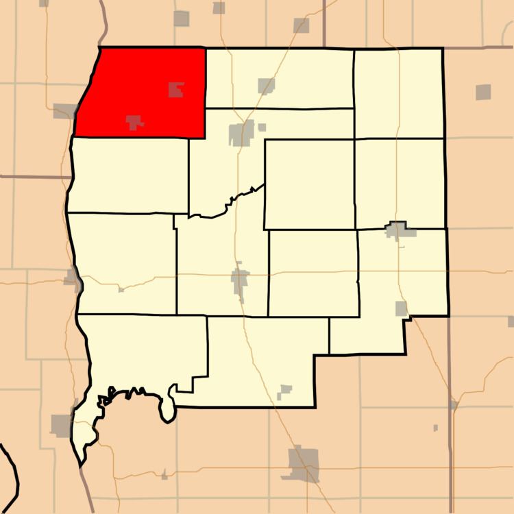
Patterson Township is one of thirteen townships in Greene County, Illinois, USA. As of the 2010 census, its population was 636 and it contained 282 housing units.
Contents
- Map of Patterson Township IL USA
- Geography
- Cities towns villages
- Unincorporated towns
- Cemeteries
- Airports and landing strips
- Rivers
- School districts
- Political districts
- References
Map of Patterson Township, IL, USA
Geography
According to the 2010 census, the township has a total area of 47.66 square miles (123.4 km2), of which 47.12 square miles (122.0 km2) (or 98.87%) is land and 0.54 square miles (1.4 km2) (or 1.13%) is water.
Cities, towns, villages
Unincorporated towns
(This list is based on USGS data and may include former settlements.)
Cemeteries
The township contains these eight cemeteries: Bluefield, Hanks, Johnson Burial Ground, Pinetree, Rawlins, Shelton, Smith and Wilmington.
Airports and landing strips
Rivers
School districts
Political districts
References
Patterson Township, Greene County, Illinois Wikipedia(Text) CC BY-SA