
Elevation 2,618 ft (798 m) Topo map USGS Old Fields | Easiest route Drive | |
 | ||
Parent range Ridge-and-Valley Appalachians Range Ridge-and-Valley Appalachians | ||
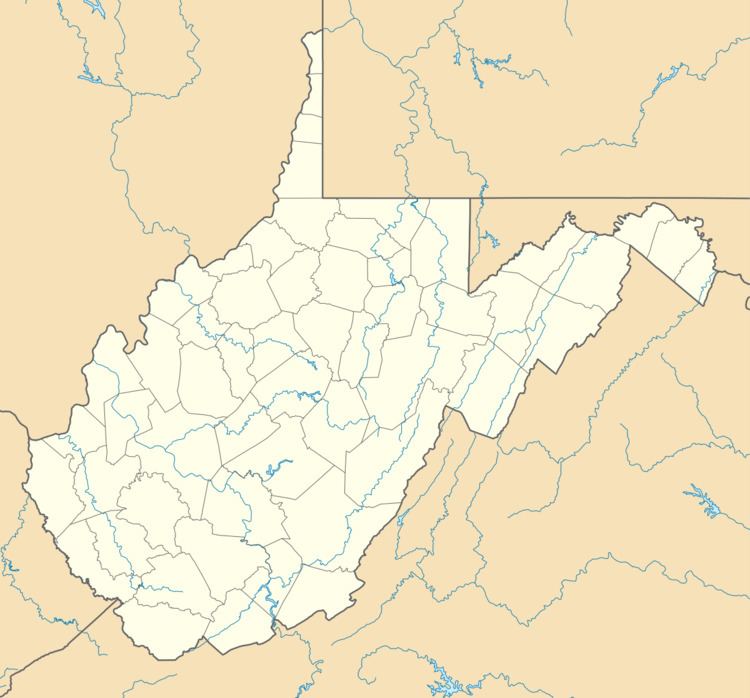
Patterson Creek Mountain is a mountain ridge that forms the border between Mineral and Hampshire counties and Grant and Hardy Counties in West Virginia's Eastern Panhandle. The mountain's namesake, Patterson Creek, parallels its western flank. The southern end of the Patterson Creek Mountain is near the confluence of Lunice Creek and the South Branch Potomac River and its northern end is located southwest of Springfield. The mountain reaches its highest elevation at Charles Knob.
Contents
Map of Patterson Creek Mountain, Grant, WV 26845, USA
Summits and KnobsEdit
Patterson Creek Mountain is a mountain ridge made up of multiple peaks. The following are listed from the mountain's southern end to its northern end.
References
Patterson Creek Mountain Wikipedia(Text) CC BY-SA