
Country Thailand Area 1,940.4 km2 Population 686,186 | University Yala Islamic College Capital Pattani | |
 | ||
Map of Pattani Province
Pattani (Thai: ปัตตานี, [pàt.tāː.nīː]) is one of the southern provinces (changwat) of Thailand. Neighboring provinces are (from southeast clockwise) Narathiwat, Yala, and Songkhla.
Contents
- Map of Pattani Province
- Pattani place upload v english mpg
- History
- Demographics
- Geography
- Symbols
- Administrative divisions
- References

Pattani place upload v english mpg
History

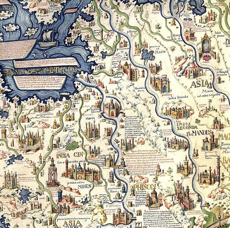
The name Pattani is the Thai adaptation of the Malay name Patani (Jawi: ڤتاني), which can mean "this beach" in Patani Malay language. (In standard Malay, this would be pantai ini.) Another suggestion is that it derives from a Sanskrit word pathini, meaning "virgin nymph"; Pathini was the name of a daughter of Merong Mahawangsa, founder of the preceding Langkasuka Empire.
Historically, Pattani Province was the centre of the Malay Sultanate of Patani Darul Makrif. For centuries a tributary state of Siam, Pattani has been governed by Siam since its conquest in 1785. Siamese rule was officially acknowledged by the Anglo-Siamese Treaty of 1909 negotiated with the British Empire. Both Yala (Jala) and Narathiwat (Menara) were originally part of Patani, but were made provinces of their own during the territorial administrative reform and the creation of a united centralized Siam state.
Demographics

Pattani is one of the four provinces of Thailand where the majority of the population are Malay Muslim. They make up about 88 percent of its population. The people speak the Patani Malay language, although most also speak Thai. The Pattani Malays are similar in ethnicity and culture to the Malays of Kelantan, Malaysia.
Geography
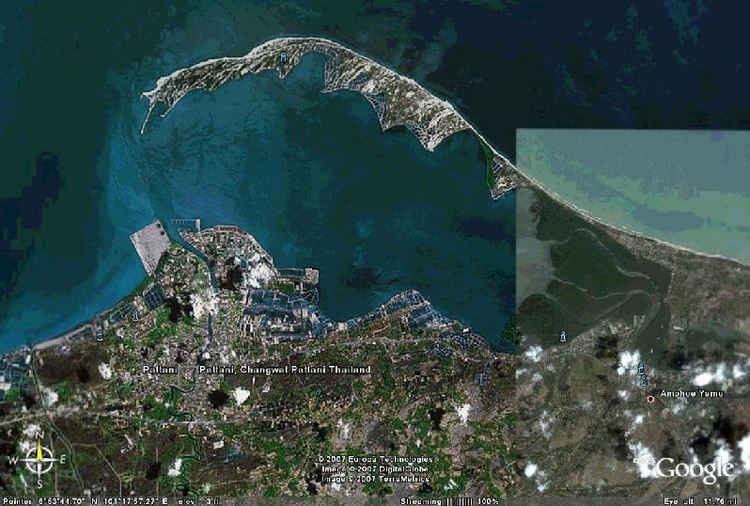
Pattani is on the Malay Peninsula, with the coast of the Gulf of Thailand to the north. The south is dominated by the Sankalakhiri mountain range, which includes Budo-Su-ngai Padi National Park, on the border with Yala and Narathiwat.
Symbols
The seal of the province shows the cannon called Phraya Tani, known as Sri Pattani in Malay, which was cast in Pattani Province. It was brought to Bangkok in 1785, and is now on display in front of the Ministry of Defence in Bangkok.
The provincial flower is the Chinese hibiscus (Hibiscus rosa-sinensis), and the provincial tree the Ironwood (Hopea odorata).
Administrative divisions
Pattani is divided into 12 districts (amphoe), which are further subdivided into 115 communes (tambon) and 629 villages (muban).
The districts of Chana (Malay: Chenok), Thepa (Malay:Tiba) and Saba Yoi (Malay:Sebayu) were detached from Pattani and transferred to Songkhla in recent times by the Thai government.