
Elevation 1,200 m | Sub-region Acholi sub-region Time zone EAT (UTC+3) Local time Friday 5:13 PM | |
 | ||
Weather 33°C, Wind NE at 11 km/h, 31% Humidity | ||
Patongo is a town in Agago District, Acholi sub-region in the Northern Region of Uganda. The town is administered by the Patongo Town Council
Contents
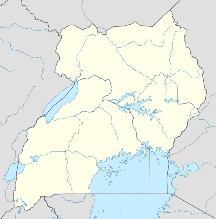
Map of Patongo, Uganda
Location
Patongo is approximately 21.5 kilometres (13.4 mi), by road, south of Agago, the site of the district headquarters . The coordinates of the town are 2°45'36.0"N, 33°18'36.0"E (Latitude:2.7600; Longitude:33.3100).
Overview
The town of Patongo was formed during the 2000s along with Pader and Pader District. Initially the location of a large camp for internally displaced people as a result of the Lord's Resistance Army insurgency, Patongo was granted municipal status by the Ugandan parliament effective July 2010. In 2010, when Pader District was divided to create Agago District, Patongo went with Agago District.
Points of interest
The following additional points of interest are located within or near the town of Patongo: