
Country Thailand Time zone ICT (UTC+7) Geocode 4503 Population 53,718 (2015) | Seat Bua Daeng Postal code 45190 Area 356.9 km² Province Roi Et Province | |
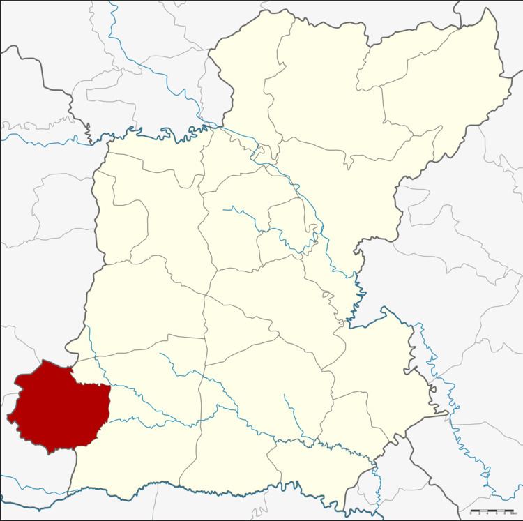 | ||
Pathum Rat (Thai: ปทุมรัตต์) is a district (amphoe) in the southwestern part of Roi Et Province, Thailand.
Contents
- Map of Pathum Rat District Roi Et Thailand
- Geography
- History
- Central administration
- Local administration
- References
Map of Pathum Rat District, Roi Et, Thailand
Geography
Neighboring districts are (from the east clockwise) Kaset Wisai of Roi Et Province, Phayakkhaphum Phisai, Na Dun and Wapi Pathum of Maha Sarakham Province.
History
The minor district (king amphoe was created on 15 June 1963, when the three tambon Bua Daeng, Phon Sung, and Non Sawan were split off from Kaset Wisai District. It was upgraded to a full district on 27 July 1965.
Central administration
The Pathum Rat District is divided into eight sub-districts (tambon), which are further subdivided into 101 administrative villages (muban).
Local administration
There are three sub-district municipalities (Thesaban Tambon) in the district:
There are six sub-district administrative organizations (SAO) in the district: