Country India District Surendranagar PIN 382765 Area code 02757 | State Gujarat Time zone IST (UTC+5:30) Telephone code 02757 | |
 | ||
Neighborhoods Kaka Vas, Indira Nagar Patdi | ||
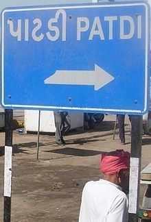
Patdi is a town and former princely state on Saurashtra peninsula in Gujarat, western India.
Contents
Map of Patdi, Gujarat 382765
The town is located 90 km west of Ahmedabad in Ahmedabad district with a population of approximately 20,000. Ahmedabad (Intl' Airport)90 km away is the nearest airport. Patdi has less frequency of train connections. The nearest station having enough trains is Viramgam (30 km).
History
Patdi used to be an estate in Jhalawar prant of Eastern Kathiawar under the rule of (rare) Kunbi Chieftains, styled (Desai) Darbar.
When the Virangam State (viz.) lost its eponymous capital after a conflict with the Marathas to the Gaekwar Baroda State, it changed its name as princely state after Patdi, its new seat. It was ruled by Desai Shris, whose family was also called Desai.
Ruling Desai Shris
Economy
The main business of Patdi is salt production and related products. It provides a salt transportation channel to India. Patdi provides the best market for the consumer needs of neighbouring villages. It also provides a farmers' market and cotton processing units.
Patdi town is on the edge of Little Rann of Kachchh, the inner fort of Patdi, which is secured by dip water and city suburbs. Patdi is also known for its Surajmalji highschool.
Climate
Due to the neighbouring "Desert", the climate is dry but not much different from other parts of Gujarat. Patdi was the first state in India which had electricity by private rajwadas.
