
 | ||
Stocking passage creek
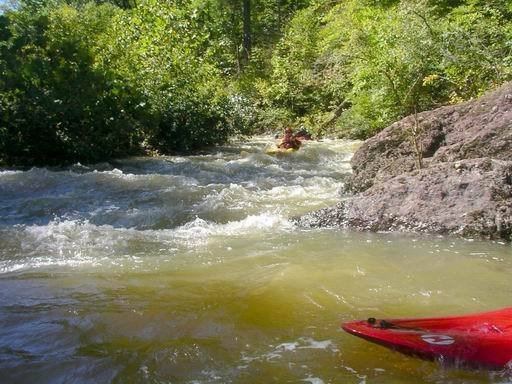
Passage Creek is a 38.5-mile-long (62.0 km) tributary stream of the North Fork Shenandoah River in Fort Valley, Virginia. For most of its length it flows through a rural valley between the two spine-like ridges of Massanutten Mountain, then exits the valley by cutting a narrow gorge through the northeast end of the mountain.
Contents
- Stocking passage creek
- Map of Passage Creek Virginia USA
- Passage creek farm strasburg road virginia
- Recreation
- References
Map of Passage Creek, Virginia, USA
Passage creek farm strasburg road virginia
Recreation
Passage Creek passes through the George Washington National Forest, managed by the United States Forest Service. It is annually stocked with trout by the Virginia Department of Game and Inland Fisheries. The stream runs along Fort Valley Road, and is accessible at the Elizabeth Furnace recreation area.
References
Passage Creek Wikipedia(Text) CC BY-SA