
 | ||
Similar Cùl Beag, Ben Vrackie, Killiecrankie, Ben Ledi, Queen's View | ||
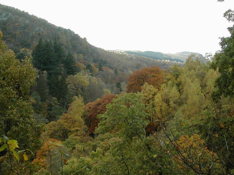
Three miles north of Pitlochry by the A9 road, the Pass of Killiecrankie (Gaelic: Coille Chneagaidh), is a mountain pass between 2757 ft (830 m) Ben Vrackie and Tenandry Hill in Perth and Kinross on the River Garry.
Map of Pass of Killiecrankie, Pitlochry, UK
The river-gorge traverses the pass over the course of a mile, and above it, the road and the railway, with the village of Killiecrankie at the north end.
About a mile toward the village of Killiecrankie, the Battle of Killiecrankie took place in 1689.
There was also a ship, a 3 masted bark named the Pass of Killiecrankie of the Killiecankie line. The ship was later renamed Stifinder. Picture of ship.
References
Pass of Killiecrankie Wikipedia(Text) CC BY-SA