
 | ||
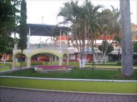
Paso del Macho is a municipality in Veracruz, Mexico. It is located in the montane central zone of the state of Veracruz, about 70 km from the state capital, Xalapa. It has an area of 323.26 square kilometres (124.81 sq mi). It is located at 18°58′N 96°43′W.
Contents
Map of Paso del Macho, Ver., Mexico
The name comes because it was necessary there to move with mules or males for injured of the area.
Geographic limits
The municipality of Paso del Macho is delimited to the north by Zentla to the east by Carrillo Puerto to the south by Cuitláhuac, to the west by Atoyac and to the north-west by Tepatlaxco. The municipality is located in the central zone of the state; its soil presents some irregularities without importance.
Agriculture
It produces principally maize, beans, sugarcane, coffee and mango.
Celebrations
In Pajapan, in November takes place the celebration in honor to San Martín, patron of the town, and in November takes place the celebration in honor to Virgen de Guadalupe.
Weather
The weather in Pajapan is warm and dry all year with rains in summer and autumn.