
Time zone UTC -3 Dial plan +598 463 (+5 digits) Population 235 (2011) | Postal code 45005 Local time Friday 1:37 AM | |
 | ||
Weather 18°C, Wind SE at 3 km/h, 99% Humidity | ||
Capitulos de historia 27 paso del cerro tranqueras mayo 2012
Paso del Cerro is a village or populated centre in the Tacuarembó Department of northern-central Uruguay.
Contents
- Capitulos de historia 27 paso del cerro tranqueras mayo 2012
- Map of 45005 Paso del Cerro TacuarembC3B3 Department Uruguay
- Enduro paso del cerro
- Location and geography
- Population
- References
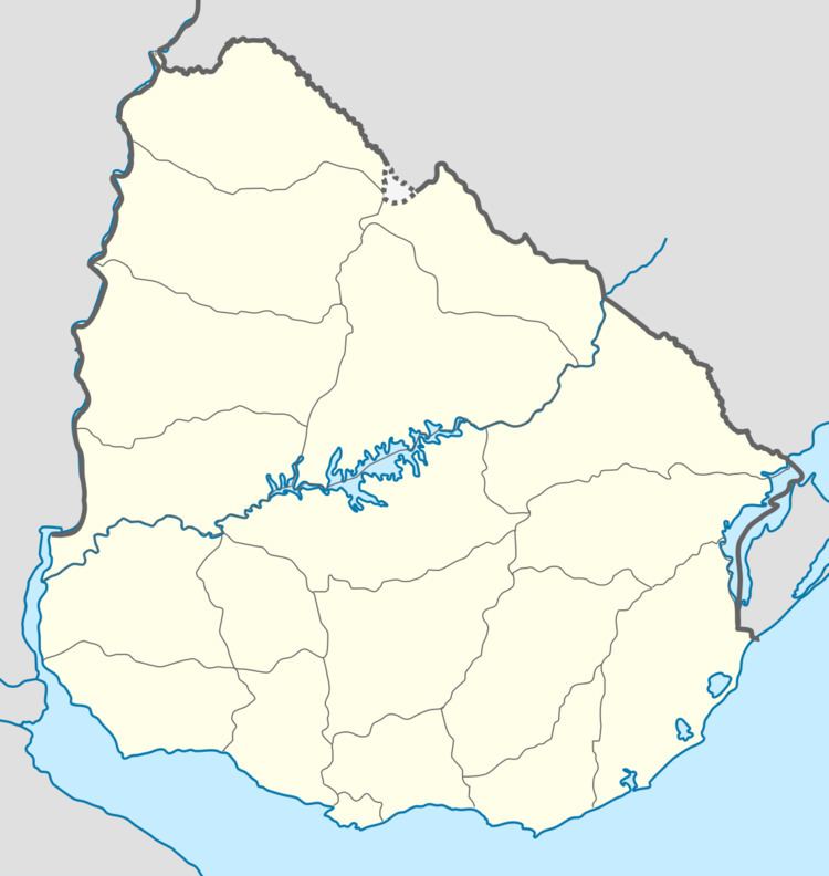
Map of 45005 Paso del Cerro, Tacuaremb%C3%B3 Department, Uruguay
Enduro paso del cerro
Location and geography
It is located near the border with Rivera Department, about 19 kilometres (12 mi) in a westward direction along a road that splits from the intersection of Route 5 with Route 29, 38 kilometres (24 mi) northeast of the department capital Tacuarembó. The railroad track Montevideo - Tacuarembó - Rivera passes through the village. The stream Arroyo Laureles, a main tributary of Río Tacuarembó, flows 2.2 kilometres (1.4 mi) northeast of the village.
Population
In 2011 Paso del Cerro had a population of 235.
Source: Instituto Nacional de Estadística de Uruguay
References
Paso del Cerro Wikipedia(Text) CC BY-SA