
Country Argentina Demonym(s) libreño/a CPA base W3320 Elevation 24 m Local time Friday 1:36 AM | Department Paso de los Libres Time zone ART (UTC-3) Dialing code +54 3772 Number of airports 1 | |
 | ||
Weather 21°C, Wind SE at 13 km/h, 92% Humidity | ||
Saladas vs paso de los libres
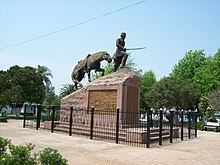
Paso de los Libres is a city in the east of the province of Corrientes in the Argentine Mesopotamia. It had about 44,000 inhabitants at the 2001 census , and is the head town of the department of the same name.
Contents
Map of Paso de los Libres, Corrientes Province, Argentina
The city lies on the right-hand (western) shore of the Uruguay River, opposite the city of Uruguaiana, Rio Grande do Sul, Brazil, to which it is joined by a road and railway bridge (Paso de los Libres-Uruguaiana International Bridge). The area is served by Paso de los Libres Airport.
References
Paso de los Libres Wikipedia(Text) CC BY-SA