
Time zone UTC -3 Dial plan +598 463 (+5 digits) Population 510 (2011) | Postal code 45011 Local time Friday 1:30 AM | |
 | ||
Weather 18°C, Wind E at 5 km/h, 98% Humidity | ||
Paso Bonilla is a village or populated centre in the Tacuarembó Department of northern-central Uruguay.
Contents
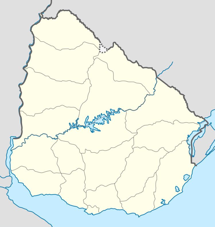
Map of 45011 Paso Bonilla, Tacuaremb%C3%B3 Department, Uruguay
Location
The village is located on the junction of Route 5 with Route 59, about 10 kilometres (6.2 mi) south of the department capital city Tacuarembó. About 1.5 kilometres (0.93 mi) north of the village is the so-called "Paso Bonilla", which coincides with the actual bridge of Route 5 over the stream Arroyo Tranqueras.
Population
In 2011 Paso Bonilla had a population of 510.
Source: Instituto Nacional de Estadística de Uruguay
References
Paso Bonilla Wikipedia(Text) CC BY-SA