Calling code +6-09 Local time Friday 12:13 PM | Postcode 16xxx Vehicle registration D | |
 | ||
Weather 32°C, Wind E at 11 km/h, 62% Humidity | ||
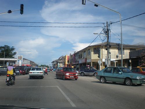
Pasir Puteh (Chinese: 巴西富地) is a town, district (jajahan) and parliamentary constituency in Kelantan, Malaysia. The town of Pasir Putih is situated on the bank of Semerak River, about 30 kilometers to the south of Kota Bharu. Pasir Puteh district borders Terengganu to its south-east.
Contents
Map of Pasir Puteh, Kelantan, Malaysia
History
Before this place was known as Pasir Puteh, it was known as Pangkalan Limbungan. The town of Pasir Puteh derived its name after Sultan Muhammad IV visited this place. The Sultan was very impressed to see the white sand shining along the riverbanks. Hence in 1911, the Sultan declared the name of this place as Pasir Puteh, which meant white sand. This is the place where a Kelantan warrior, Tok Janggut, raised an army of Malay warriors to oppose the introduction of taxation in Kelantan.
Demographics
Population in Pasir Puteh is about 130,700 (2009).
Ranking Population Jajahan Pasir Puteh.
