
Country/ Village Development Committee Nepal District Ilam Elevation 2,000 m Population 6,776 (1991) Area code 027 | Zone Mechi Time zone Nepal Time (UTC+5:45) Local time Friday 9:09 AM Postal code 57303 | |
 | ||
Weather 12°C, Wind SE at 3 km/h, 85% Humidity | ||
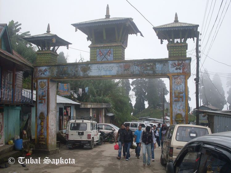
Pashupatinagar is a town and Village Development Committee in Ilam District in the Mechi Zone of eastern Nepal.
Contents
Map of Pashupatinagar, Nepal
Demographics
At the time of the 2011 Nepal census it had a population of 29,0082 persons living in 1980 individual households.
Transport
Pashupatinagar is near Nepal's eastern border at Darjeeling District, West Bengal State, India. There is a border crossing to Sukhiapokhri town with a customs checkpoint. Indian and Nepalese nationals cross without restriction.
References
Pashupatinagar, Mechi Wikipedia(Text) CC BY-SA