
Population 9,553 (2011 census) Postal code 3044 | Postcode(s) 3044 State electorate(s) BrunswickPascoe Vale Area 3 km² | |
 | ||
Location 9 km (6 mi) from Melbourne | ||
Pascoe Vale South is a suburb of Melbourne, Victoria, Australia, 9 km north of Melbourne's central business district. Its local government area is the City of Moreland. At the 2011 Census, Pascoe Vale South had a population of 9,553.
Contents
- Map of Pascoe Vale South VIC 3044 Australia
- History
- People
- Transport
- Educational facilities
- Neighbourhoods
- Landmarks and notable places
- References
Map of Pascoe Vale South VIC 3044, Australia
Pascoe Vale South adjoins Brunswick West to the south, Strathmore and the Moonee Ponds Creek to the west, Coburg to the east, and Pascoe Vale to the north. The suburb also borders the Tullamarine Freeway.
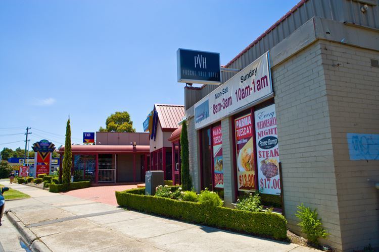
Major features of the suburb include the Bell Street/Melville Road Shopping area.
History
The Pascoe Vale area was part of the original John Pascoe Fawkner estate. In 1841 Dr Farquhar McCrae, a wealthy surgeon, purchased land called 'La Rose' in what is now known as Pascoe Vale South. The house he built in 1842 or 1843 is now known as Wentworth House, and is the oldest known private dwelling in Victoria still standing on its original site and the fifth oldest building in Victoria. It is located at 22 Le Cateau Street, Pascoe Vale South.
Significant development of Pascoe Vale South took place after the tram was extended to Bell Street in 1927, with the post office opening on 1 August 1927.
People
According to the 2001 Census data, Pascoe Vale South is primarily a family residential suburb with average income, education and relatively low unemployment. The Census revealed that 8,336 people live in Pascoe Vale, and the trend is that this is likely to increase slightly with some new residential development. House ownership is relatively stable at 54 per cent.
Pascoe Vale South is less culturally diverse than other suburbs of Moreland, and even lower than the Melbourne average. About 62 per cent of people spoke English at home.
Transport
Tram route 55 provides public transport through the suburb along Melville Road from the Bell Street terminus to the city. For cyclists, the suburb adjoins the Moonee Ponds Creek Trail to the west.
The following bus routes also services the area:
Educational facilities
Pascoe Vale South has a government primary school (Pascoe Vale South Primary School) and two catholic schools.
Neighbourhoods
The neighbourhood of Coonans Hill is in the south of the suburb (37°45′01″S 144°56′28″E). Its post office (now closed) opened on 21 February 1957.
Landmarks and notable places
The following places in Pascoe Vale South are listed on the Victorian Heritage Register: