
Time zone WIB (UTC+7) Area 3,948 km² Population 266,462 (2014) | Area code(s) +62 753 | |
 | ||
Website | ||
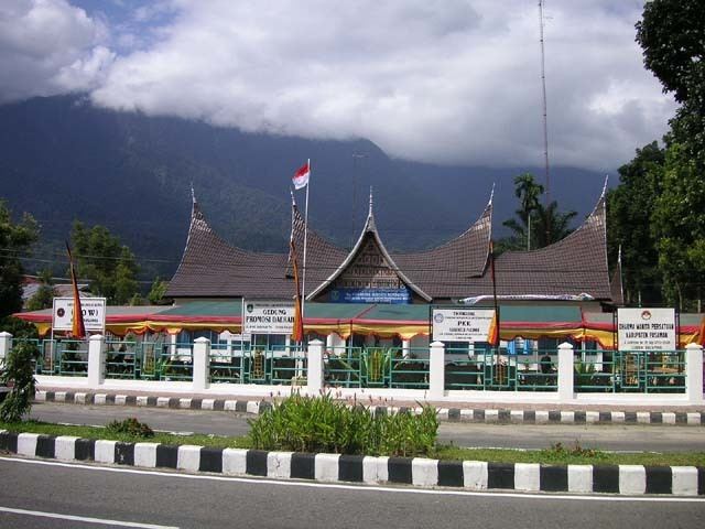
Pasaman is a regency (kabupaten) of West Sumatra, Indonesia. It has an area of 3,947.63 square kilometres (1,524.19 sq mi) and a population of 252,981 at the 2010 Census; the latest official estimate (for January 2014) is 266,462. The capital is Lubuk Sikaping.
Contents
Map of Pasaman Regency, West Sumatra, Indonesia
Pasaman is located in the north-east of West Sumatera. The town of Bonjol, birthplace of Tuanku Imam Bonjol, is notable for being the area where the Trans-Sumatran Highway crosses the equator. Although the majority tribe in West Sumatra is Minangkabau, in Pasaman there is another big tribe, that is Mandailing from North Sumatra, so Pasaman means "equality" between two tribe (Pasaman is in Minangkabau language, in Indonesian is "Persamaan"), like the first Vice of Regent of Pasaman is H. Ahmad Dahlan Nasution from Duo Koto, King of Sontang (kingdom of Mandailing in Pasaman).
Administrative divisions
Pasaman Regency is divided into twelve districts (kecamatan), listed below with their populations at the 2010 Census: