
Time zone IST (UTC+5:30) Elevation 499 m Population 874 (2011) | Tehsil Huzur 2011 census code 482373 Local time Friday 6:16 AM ISO 3166 code ISO 3166-2:IN | |
 | ||
Weather 22°C, Wind W at 3 km/h, 44% Humidity | ||
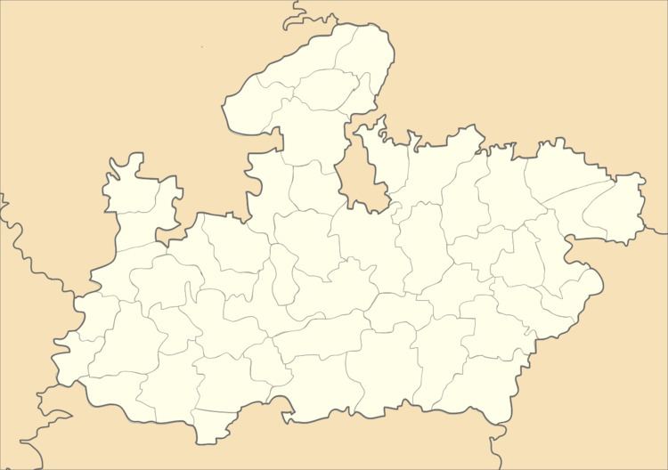
Parvaliya Sani is a village in the Bhopal district of Madhya Pradesh, India. It is located in the Huzur tehsil and the Phanda block.
Contents
Map of Parvaliya Sani, Madhya Pradesh
Demographics
According to the 2011 census of India, Parvaliya Sani has 155 households. The effective literacy rate (i.e. the literacy rate of population excluding children aged 6 and below) is 70.25%.
References
Parvaliya Sani Wikipedia(Text) CC BY-SA