
Established 1907 Elevation 81 m (266 ft) Founded 1907 Local time Friday 4:35 AM | Postcode(s) 5301 Postal code 5301 | |
 | ||
Weather 18°C, Wind E at 18 km/h, 74% Humidity | ||
Parrakie, South Australia is a small town on the Mallee Highway and Pinnaroo railway line approximately 26 kilometres west of Lameroo. The name is derived from the Aboriginal word perki which means cave or limestone sink hole. The town was surveyed in 1907.
Map of Parrakie SA 5301, Australia
The town is surrounded by large properties growing mostly cereal grains and livestock.
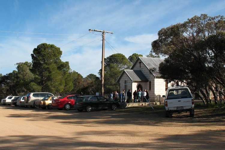
There is a Lutheran Church, town hall, post office and payphone. There is also a cricket club and tennis courts on the other side of the railway line, south of the town. A primary school opened in 1910 and closed in 1964.
References
Parrakie, South Australia Wikipedia(Text) CC BY-SA