
Type Public Greenway Area 25 ha | ||
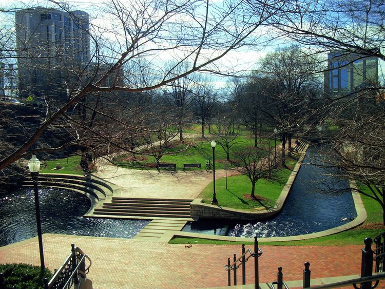 | ||
An extension collection of parks and greenways exists in Huntsville, Alabama for the public's recreational use.
Contents
- Parks within Huntsville city limits
- Proposed parks
- Current greenways
- Aldridge Creek Greenway
- Atwood Linear Park Greenway
- Big Cove Creek Greenway
- Flint River Greenway
- Gateway Greenway
- Indian Creek Greenway
- Little Cove Road Greenway
- Tennessee River Greenway
- Wade Mountain Greenway
- Proposed greenways
- Trails
- Goldsmith Schiffman Wildlife Sanctuary
- Hays Nature Preserve
- Monte Sano Nature Preserve
- Wade Mountain Nature Preserve
- References
Parks within Huntsville city limits
The city of Huntsville currently has 57 parks which cover over 3,000 acres of land.
Proposed parks
Current greenways
As of November 2013, there are 9 greenways with 26 miles (42 km) of trail.
Aldridge Creek Greenway
Aldridge Creek Greenway is a 103.55 acre greenway consisting of a 4.25 miles (6.84 km) long walking and biking trail in South Huntsville that runs along Aldridge Creek connecting Ken Johnston Park to Ditto Landing and the Tennessee River. The greenway runs north along Aldridge Creek from the main trailhead for 1.25 miles to the sidewalk on the west side of Bailey Cove Rd just north of Country Lane Drive and south to the entrance of Ditto landing, about 3.5 miles. The address of the park is 1100 Mountain Gap Rd at Ken Johnston Park just west of Bailey Cove Rd. Parking is also available on the south end of the greenway at Ditto Landing and additional parking is located behind Challenger School on Chaney Thompson Rd.
The city had planned to continue the greenway north to connect to Atwood Linear Park Greenway. However, Valley Hill Country Club will not allow the city to expand the greenway through their golf course. The city has plans to construct future segments of the greenway from the current north terminus to the east end of Esslinger Road.
Atwood Linear Park Greenway
Atwood Linear Park Greenway is a 0.9 miles (1.4 km) long trail that connects Jones Family Park to the Valley Hill Country Club. The trail is a muti-use walking and biking trail that runs along Atwood Drive in the Jones Valley area of Southeast Huntsville. Parking is available at Jones Family Park on the north side of Four Mile Post Road.
Big Cove Creek Greenway
Big Cove Creek Greenway is a 53 acre greenway in southeast Huntsville's Hampton Cove subdivision the runs along Big Cove Creek north to just south of Caldwell Lane. There is a multipurpose walking and biking trail that is 2.86 miles (4.60 km) long that connects the Flint River greenway to the Hampton Cove community. The city of Huntsville plans to extend the greenway north to Monte Sano Mountain and connect it to the existing Arrowhead trail.
Flint River Greenway
The Flint River Greenway is one of the newest greenways in the city of Huntsville. It is located in southeast Huntsville in the Hampton Cove subdivision. Currently, there is a 1.87 miles (3.01 km) long walking and biking trail connecting Old US 431 to the Big Cove Creek Greenway in the Hays Nature Preserve where parking is available. The city of Huntsville plans to extend the greenway south along the Flint river to eventually connect to the Tennessee River greenway.
When completed, the greenway will be 36.0 miles (57.9 km) long and contain canoe launch sites spaced throughout the length of the greenway.
Gateway Greenway
Gateway Greenway is a 0.6 miles (0.97 km) trail that connects Veterans Park to Pratt Avenue in downtown Huntsville. Parking is available along Meridian Street.
Indian Creek Greenway
Indian Creek Greenway is a series of greenways that make up 3.77 miles (6.07 km) of walking and biking trails in West Huntsville. The north section of the greenway is located in the Providence subdivision off of University Drive. The larger, south section of the greenway, which is 2.95 miles (4.75 km) long, runs from Creekwood Park to Old Madison Pike just west of Cummings Research Park. Parking is available at the trail heads at Creekwood Park and off Old Madison Pike east of Slaughter Road.
Little Cove Road Greenway
Little Cove Road Greenway is made up of a 5.04 miles (8.11 km) mile trail that connects Big Cove Creek greenway north to the Flint River in Southeast Huntsville. The greenway travels along Little Cove Road/Eastern Bypass/Old Hwy 431.
Tennessee River Greenway
The Tennessee River Greenway connects to the Aldridge Creek Greenway at Ditto Landing in South Huntsville and adds an additional 0.93 miles (1.50 km) of walking and biking trail than runs along the Tennessee River. This greenway connects Ditto Landing to the Madison County Marina. Parking is available at Ditto Landing. The City of Huntsville plans to extend the greenway south along the river and will end at the Flint River, where it will eventually connect to the Flint River greenway.
Wade Mountain Greenway
In North Huntsville lies nearly 5.5 miles (8.9 km) of greenway with 1 mile (1.6 km) of a paved trail and 4.375 miles (7.041 km) miles is an unpaved hiking trail.
Proposed greenways
Trails
Goldsmith Schiffman Wildlife Sanctuary
The Goldsmith Schiffman Wildlife Sanctuary is located in southeast Huntsville, near Hampton Cove, to the west of the Hays Nature Preserve.
Hays Nature Preserve
The Hays Nature Preserve, located in southeast Huntsville near the subdivision of Hampton Cove, is the city's largest and most undeveloped parklands. The Flint River and Big Cove Creek greenways run through the nature preserve and connect with various hiking trails along the way.
Monte Sano Nature Preserve
Located on Monte Sano Mountain, Monte Sano Nature Preserve covers 1,107 acres (448 ha) making it one of the largest urban nature preserves in the US, larger than Central Park. It includes over 25 miles (40 km) of trails for hiking and mountain biking, which connect to Monte Sano State Park and Burritt on the Mountain.This Preserve is managed in partnership with the Land Trust of North Alabama.
Wade Mountain Nature Preserve
Wade Mountain Nature Preserve is a series of greenways and trails that make up 5.375 miles (8.650 km) of walking and hiking trails in North Huntsville. The trails are made up of 1 mile (1.6 km) long paved trail and 4.375 miles (7.041 km) of unpaved hiking trails that lead up Wade Mountain to the Devil's Race Track. This Preserve is managed in partnership with the Land Trust of North Alabama.