
Ward 14 Area 210 ha Population 4,046 (2006) | Quadrant SE Established 1974 Elevation 1,035 m Local time Thursday 7:07 AM | |
 | ||
Weather 1°C, Wind W at 13 km/h, 66% Humidity | ||
Parkland is a residential neighbourhood in the south-east quadrant of Calgary, Alberta. It is bounded to the north by Canyon Meadows Drive, to the east by Bow Bottom Trail and to the south and west by Fish Creek Provincial Park.
Contents
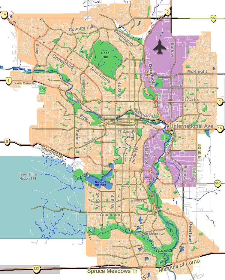
Map of Parkland, Calgary, AB, Canada
The land was annexed to the City of Calgary in 1961 and Parkland was established in 1974. It is represented in the Calgary City Council by the Ward 14 councillor.
Demographics
In the City of Calgary's 2012 municipal census, Parkland had a population of 7003378500000000000♠3,785 living in 7003144800000000000♠1,448 dwellings, a 0.3% increase from its 2011 population of 7003377200000000000♠3,772. With a land area of 1.8 km2 (0.69 sq mi), it had a population density of 2,100/km2 (5,450/sq mi) in 2012.
Residents in this community had a median household income of $103,357 in 2000, and there were 4.8% low income residents living in the neighbourhood. As of 2000, 14.6% of the residents were immigrants. A proportion of 0% of the buildings were condominiums or apartments, and 2.2% of the housing was used for renting.
Education
The community is served by Prince of Wales Elementary public school and St. Philip Elementary School (catholic).