
Country United States Time zone CST (UTC-6) Elevation 201 m Local time Thursday 7:25 AM | Established November 7, 1854 ZIP codes 62420, 62442, 62474 Area 93.06 km² Population 186 (2010) | |
 | ||
Weather 1°C, Wind E at 16 km/h, 66% Humidity | ||
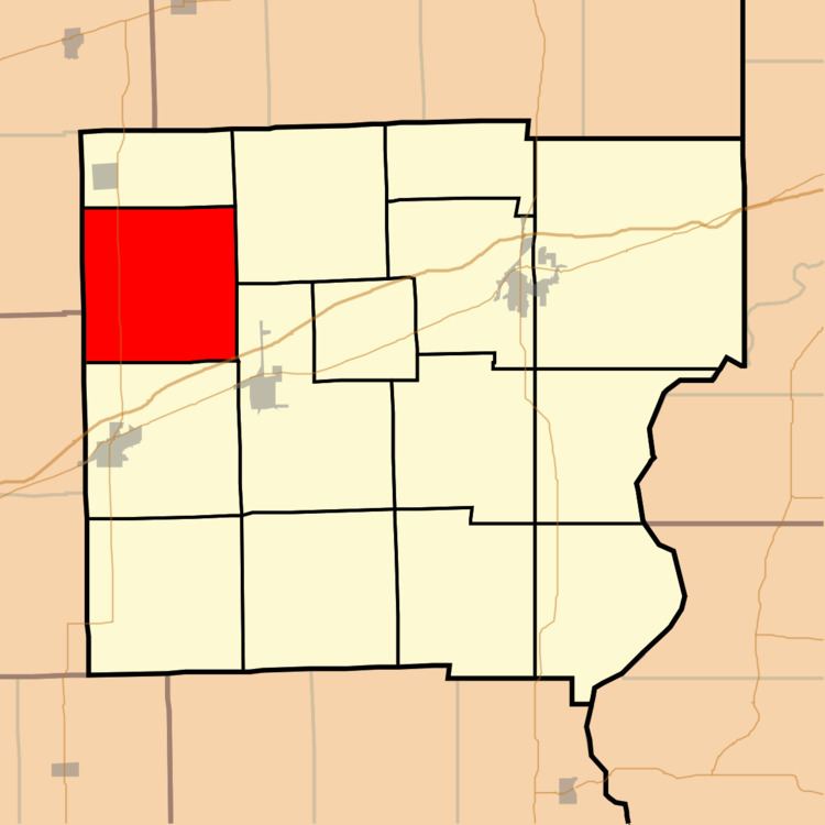
Parker Township is one of fifteen townships in Clark County, Illinois, USA. As of the 2010 census, its population was 186 and it contained 124 housing units.
Contents
- Map of Parker Township IL USA
- Geography
- Unincorporated towns
- Cemeteries
- Major highways
- School districts
- Political districts
- References
Map of Parker Township, IL, USA
Geography
According to the 2010 census, the township has a total area of 35.93 square miles (93.1 km2), of which 35.88 square miles (92.9 km2) (or 99.86%) is land and 0.04 square miles (0.10 km2) (or 0.11%) is water.
Unincorporated towns
(This list is based on USGS data and may include former settlements.)
Cemeteries
The township contains Lindsay Cemetery and Tomlinson Cemetery.
Major highways
School districts
Political districts
References
Parker Township, Clark County, Illinois Wikipedia(Text) CC BY-SA