
- location near Parker Spur | - elevation 291 m (955 ft) - elevation 0 m (0 ft) Mouth Bass Strait | |
 | ||
Fast boats on parker river
The Parker River is a perennial river of the Corangamite catchment, located in The Otways region of the Australian state of Victoria.
Contents
- Fast boats on parker river
- Map of Parker River Cape Otway VIC Australia
- Parker river 2015
- Location and features
- Etymology
- References
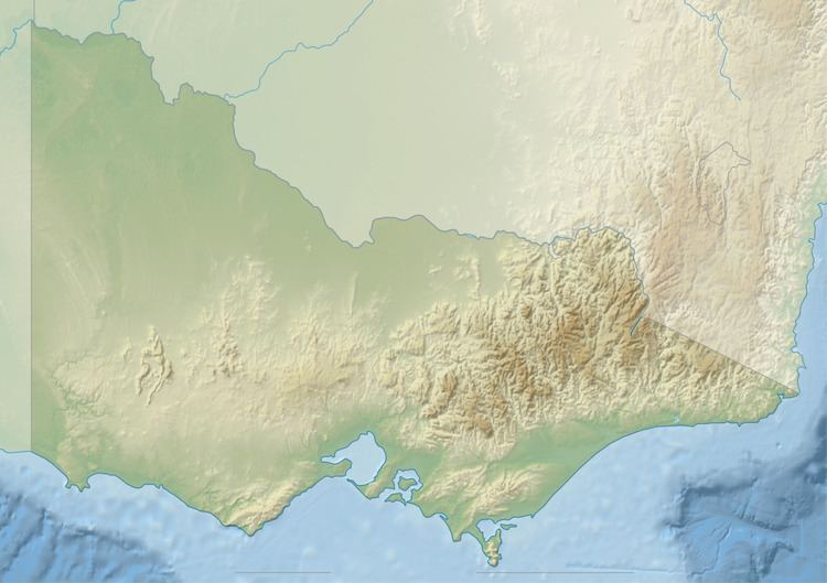
Map of Parker River, Cape Otway VIC, Australia
Parker river 2015
Location and features
The Parker River rises in the Otway Ranges in southwest Victoria, near Parkers Spur and flows generally south through the Great Otway National Park before reaching its river mouth and emptying into Bass Strait, east of Cape Otway and the Cape Otway Lighthouse, near Point Franklin. From its highest point, the river descends 291 metres (955 ft) over its 13-kilometre (8.1 mi) course.
Etymology
In the Australian Aboriginal Gadubanud language the river is named, Tjeerrang bundit, meaning "twigs of spear tree".
The river was given its current name by surveyor George Smythe after Amelia Parker, to whom he was later married.
References
Parker River Wikipedia(Text) CC BY-SA