
District Visakhapatnam PIN 531021 Elevation 19 m Local time Thursday 8:48 AM | Time zone IST (UTC+5:30) Vehicle registration AP 31-33 Population 8,203 (2011) | |
 | ||
Weather 30°C, Wind SW at 10 km/h, 58% Humidity | ||
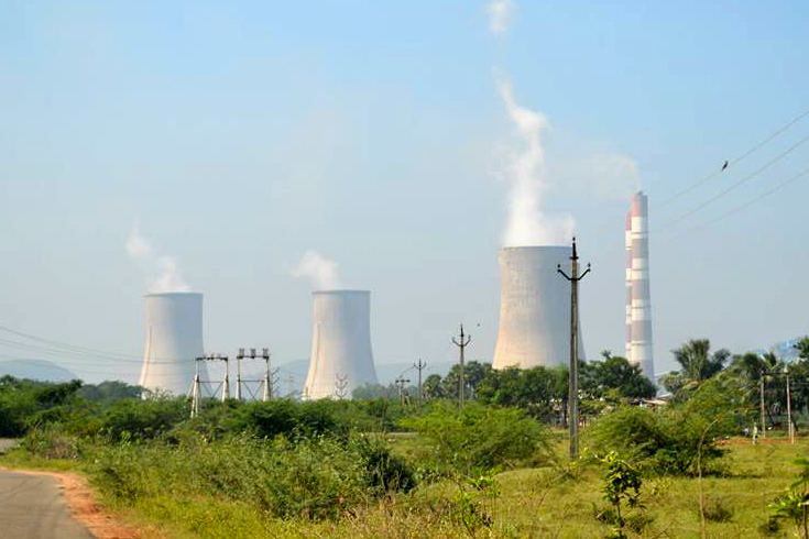
Parawada is a suburb and a Mandal in Visakhapatnam district in the state of Andhra Pradesh in India.
Contents
Map of Paravada, Visakhapatnam, Andhra Pradesh 531021
Geography
Paravada is located at 17.6333°N 83.1°E / 17.6333; 83.1. It has an average elevation of 19 meters (65 feet).
List of Elected Members:
Transport
APSRTC run the buses from all areas in Visakhapatnam city. Duvvada railway station is very close to this area.
References
Parawada Wikipedia(Text) CC BY-SA