
State Pará Microregion Parauapebas Area 6,886 km² Local time Thursday 12:05 AM | Region Northern Mesoregion Sudeste Paraense Time zone UTC -3 Population 138,690 (2010) | |
 | ||
Weather 23°C, Wind NE at 3 km/h, 93% Humidity | ||
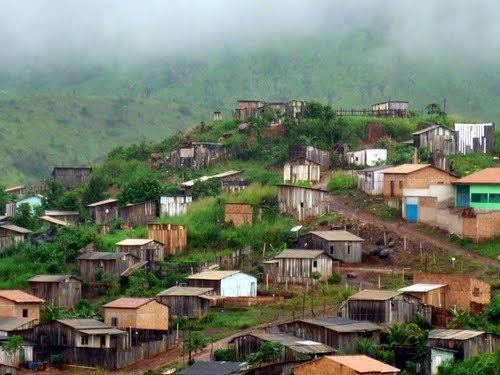
Parauapebas is a municipality in the state of Pará in the Northern region of Brazil.
Contents
Map of Parauapebas - State of Par%C3%A1, Brazil
Geography
To the north is the municipality of Marabá; to the east, Curionópolis; to the south-east, Canaã dos Carajás; to the south, Água Azul do Norte; to the south-west, Ourilândia do Norte, and to the west, São Félix do Xingu.
The municipality contains part of the Tapirapé-Aquiri National Forest, a 196,504 hectares (485,570 acres) sustainable use conservation unit created in 1989. It contains 68.9% of the Carajás National Forest, a 411,949 hectares (1,017,950 acres) sustainable use conservation unit created in 1998 that includes mining operations in a huge deposit of high-grade iron ore. Carajás Mine is located in the boundaries of the municipality.
Transport
There are direct road connections with Marabá to the north-east, Curionópolis to the east, and Canaã dos Carajás to the south.
The municipality is served by Carajás Airport.
Leisure
Parauapebas Futebol Clube is the municipality's soccer club.