Rahul Sharma (Editor)

Parakar

Updated on
Edit
Like
Comment
Share on FacebookTweet on TwitterShare on LinkedInShare on Reddit
Country
  
Armenia

Local time
  
Thursday 12:01 AM

Province
  
Armavir Province

Time zone
  
+4

Population
  
7,961 (2011)

Parakar

Weather
  
3°C, Wind N at 8 km/h, 65% Humidity

Parakar (Armenian: Փարաքար); formerly known as Shirabad, is a major village in the Armavir Province of Armenia. According to the 2010 official estimate, the population of Parakar is 9,297 (including Tairov). The village is notable for its gypsum mine. The Zvartnots International Airport is located just to the south of the village.

Contents

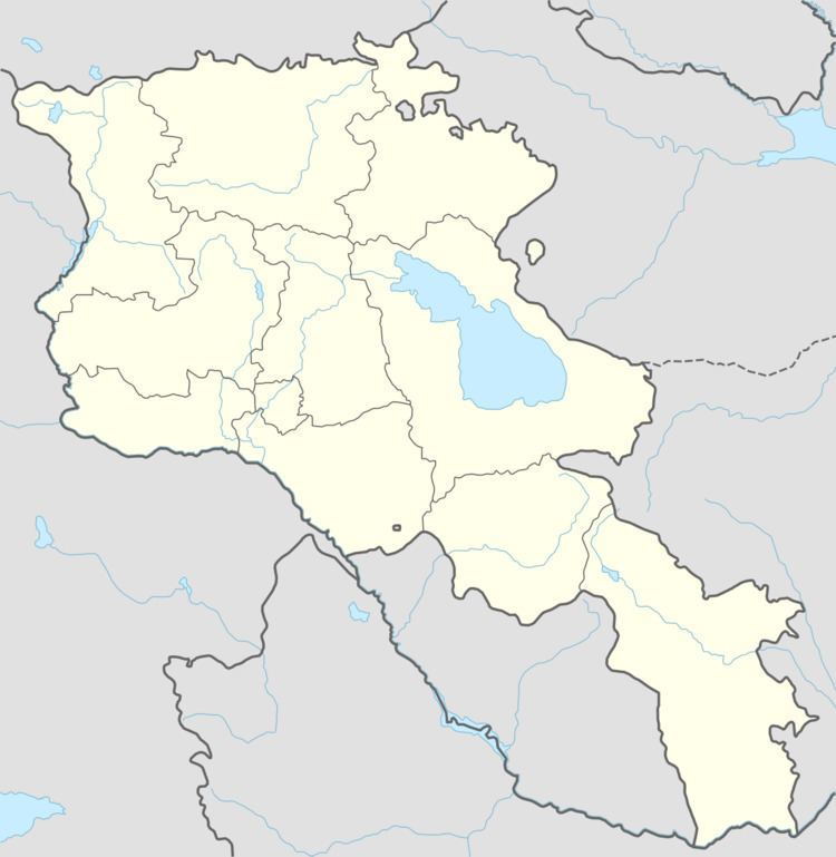
Map of Parakar, Armenia

The nearby village of Tairov belongs to the Parakar community.

Churches in Parakar

  • Church of the Holy Mother of God: built by the order of Catholicos Nerses V in 1855. It was renovated and reopened in 1992.
  • Surp Harutyun Church: dates back to the 9th century. The church was almost entirely destroyed after a devastating earthquake. It remained in ruins until the 1950s when it was rebuilt by the efforts of the villagers of Parakar. In 1984, the belfry of the church was erected. The church was restored and reopened in 1992. Finally, the church was entirely renovated in 2004 by the efforts of Armenian benefactors from the USA.
  • References

    Parakar Wikipedia