
Established 1960s Mean max temp Mean min temp Postal code 6754 Local time Wednesday 10:18 PM | Postcode(s) 6754 Elevation 391 m Population 1,600 (2006) Number of airports 1 | |
 | ||
Weather 26°C, Wind NE at 13 km/h, 74% Humidity | ||
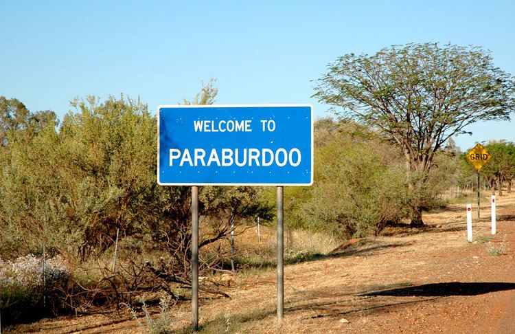
Paraburdoo is a town in the Pilbara region of Western Australia. The name of the town comes from an Aboriginal word for 'white cockatoo'. It is located 1,536 kilometres north of Perth and 79 kilometres southwest of Tom Price. Paraburdoo was developed in the early 1970s to support Hamersley Iron's (now Pilbara Iron) local iron ore mining operations, and gazetted as a town in 1972. Most of the town's residents are employed by Pilbara Iron's mining operation and the supporting services. The region is served by Paraburdoo Airport, which is situated 9 km from the town.
Map of Paraburdoo WA 6754, Australia
The town provides housing to workers of the three near-by Rio Tinto mines, those being the Channar, Eastern Range and Paraburdoo mine.
References
Paraburdoo, Western Australia Wikipedia(Text) CC BY-SA