
Country India District Purulia ISO 3166 code IN-WB Local time Wednesday 6:52 PM | State West Bengal Time zone IST (UTC+5:30) Vehicle registration WB Population 5,279 (2011) | |
 | ||
Weather 29°C, Wind N at 5 km/h, 31% Humidity | ||
Youtube tenu roz maliwe dil ay par beliya bohn pabandian ne
Parbelia is a census town in Neturia CD Block in Puruliya district in the Indian state of West Bengal.
Contents
- Youtube tenu roz maliwe dil ay par beliya bohn pabandian ne
- Map of Parbelia West Bengal 713324
- Geography
- Demographics
- Economy
- Transport
- References
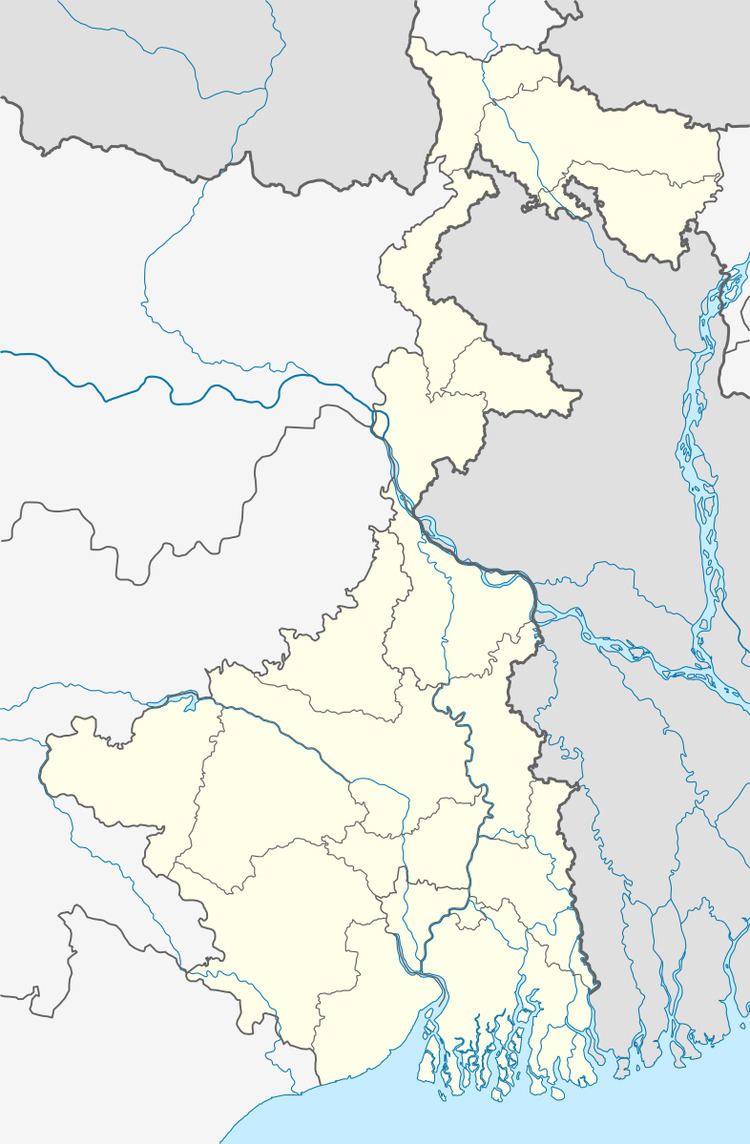
Map of Parbelia, West Bengal 713324
Geography
The area forms the lowest step of the Chota Nagpur Plateau. The general scenario is undulating land with scattered hills. It is located south of Damodar River.
Demographics
As per 2011 Census of India Parbeliya had a total population of 5,279 of which 2,783 (53%) were males and 2,496 (47%) were females. Population below 6 years was 613. The total number of literates in Parbeliya was 3,462 (74.20% of the population over 6 years).
As of 2001 India census, Parbelia had a population of 6036. Males constitute 53% of the population and females 47%. Par Beliya has an average literacy rate of 59%, lower than the national average of 59.5%: male literacy is 69%, and female literacy is 48%. In Par Beliya, 14% of the population is under 6 years of age.
Economy
This area of Purulia district is linked with Dishergarh in Asansol subdivision with a bridge across the Damodar River. [1]
Collieries in the Sodepur Area of Eastern Coalfields are: Sodepur, Mouthdih, Parbeliya, Dubeswari, Chinakuri I, Chinakuri II, Chinakuri III, Ranipur and Poidih.
Transport
State Highway 5 (West Bengal) running from Rupnarayanpur (in Bardhaman district) to Junput (in Purba Medinipur district) passes through Par Beliya.