
Population 2,880 (2011 Census) Sovereign state United Kingdom | OS grid reference TL285635 Post town CAMBRIDGE Local time Wednesday 12:07 PM Dialling code 01480 | |
 | ||
Weather 8°C, Wind SE at 27 km/h, 72% Humidity | ||
Papworth Everard is a village in Cambridgeshire, England. It lies ten miles west of Cambridge and six miles south of Huntingdon, having along its centre Ermine Street, the old North Road, the Roman highway that for centuries served as a major artery from London to York, which is now the A1198. A bypass now means that most traffic can avoid Ermine Street, and it is comprehensively traffic-calmed.
Contents
- Map of Papworth Everard UK
- History
- Sport and recreation
- Papworth Blasters
- Local facilities services
- References
Map of Papworth Everard, UK
Today, Papworth Everard is a large village with a thriving community, home to substantial light industry and local business. It is also the centre for the Papworth Trust, a charity which offers housing and training to the disabled, and Papworth Hospital, renowned in the field of cardiology.
History
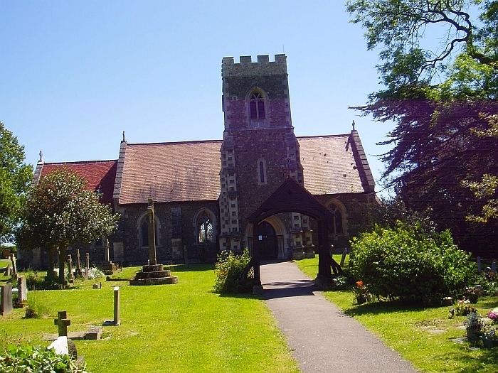
Recent archaeological work in the area of the Papworth Business Park has shown that there was some Bronze Age activity in the area. But by the Roman period, when Ermine Street was built in the first century AD, it is unlikely that there was as yet anything we would now recognise as a village there. However the same archaeological work shows signs of Romano-British activity, as well as the road, in the area. Roman rule collapsed in Britain in 410 AD. It was at least another two or three centuries before a Saxon leader, probably called 'Papa', established a small settlement about a quarter of a mile to the west of Ermine Street around the site of the present parish church. Indeed Papworth means "the enclosure of Papa's people": they were also involved in establishing Papworth St Agnes and Papley Grove. Following the Norman conquest of 1066 the village and land of Papworth were granted by the new king to a Norman knight, Everard De Beche, from whose name the second element of the village's name is derived. A moated area in the village is the remains of his castle.
Sport and recreation
Papworth Everard has a King George's Field in memorial to King George V. Adjacent to the playing fields are a bowling green (currently in the process of renovation) and a series of all-weather, floodlit tennis courts. The village also has an open-air paddling pool in its park.
Papworth Blasters
Papworth Blasters is the village's local Association football team. They play their Home games at King George's Field. They have varying age ranges of teams from under 8s to under 16s and a men's team.
Local facilities & services
Papworth Everard is served by a variety of local services, primarily based in the central location of Pendrill Court, between Chequers Lane and Ermine Street. This area is adjacent to the playing fields and so provides a central hub for the village. In addition to a combined pharmacy and doctors' surgery (on Chequers Lane) the village centre contains a convenience store incorporating a Post Office, a veterinary surgery, a coffee shop, a unisex hair salon, a chip shop, a library, Norfolk Street Deli and a family run party business, Bluebird Parties. The Village Hall was re-opened in 2015, under the control of the Parish Council.
Plans remain to develop the old print works in the village into a micro-brewery and bakery but at present these remain hopeful. The re-developed social club (formerly The Conservatory) opened as Rocky's Bar and Restaurant in August 2015.
Local news and information is published monthly in Papworth News & Views.