
Prominence 598 m | Elevation 953 m Parent range Mátra | |
 | ||
Similar | ||
Mtb ride on papuk mountain croatia
Papuk is the largest mountain in the Slavonia region in eastern Croatia, near the city of Požega. It extends between Bilogora to the northwest, Krndija to the east, and Ravna gora and Psunj to the southwest.
Contents
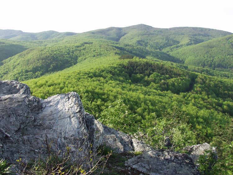
The highest peak is the eponymous peak at 953 m.a.s.l.
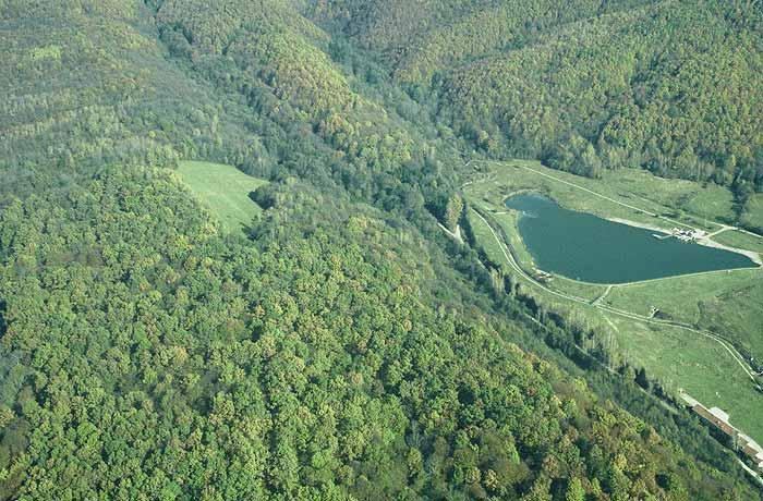
The area of Papuk is designated a nature park (park prirode), a kind of protected area in Croatia.
At the seventh European Geopark Network Open Conference, hosted by North West Highlands Geopark in September 2007, the Papuk Geopark became the first Croatian Geopark and 30th member of the European and UNESCO Global Geoparks Network.
Geopark Papuk was awarded licence second time from UNESCO in 2011.
Mtb ride on papuk
Papuk Geopark
The Papuk Geopark (45°32′N 17°39′E) is a geopark in Croatia which is situated in two counties, Požega-Slavonia and Virovitica-Podravina, and includes upland forests of the Papuk and Krndija mountains, and edges of agricultural fields. The total area of the Geopark is 33,600 hectares (83,000 acres). In September 2007, the Papuk Geopark became the first Croatian geopark (an area with an expressed geological heritage and a strategy for a sustainable economical development) and the 30th member of the European Geoparks Network and a member of the UNESCO-assisted Global Geoparks Network.
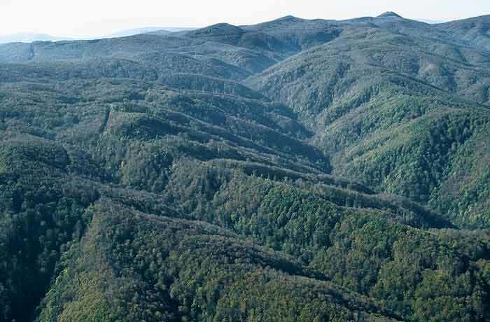
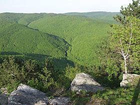
The Papuk mountains belong to the Slavonia highlands which are in Pannonia, a low-lying area of Slavonia. Even though, the Slavonia highlands are not higher than 1,000 meters, their presence is very noticeable in the landscape. This is because the surrounding alluvial fields are at around 100 m height above sea level, while the hillsides are only 100 m above the fields. The highlands are mostly covered with forests, which differentiates them from the surrounding landscape.
Within the Slavonia highlands, the Papuk Mountain stretches from west to east and is the most spacious and most interesting mountain. From the main mountain-ridge well intended are two spurs and a tract watered by a drainage basin in the direction north south. As a remarkable point, emphasis lies on peaks Točak (887 m), Papuk (953 m), Ivačka glava (913 m), Češljakovački vis (820 m), and Kapovac (792 m), which are spread out continuously, and act as a drainage divide between the numerous tributary streams flowing to the river Drava to the north, and the river Sava to the south.
Ravna Gora
Ravna Gora is a mountain in the Slavonia region in eastern Croatia. It is located between Psunj and Papuk, northeast of Pakrac and southeast of Daruvar. The highest peak is Čučevo at the altitude of 854 metres (2,802 ft). It is bound from the north by the Pakra river, and from the east by river Orljava.
Geographers usually classify Ravna Gora as mountain ridge of the Papuk mountain range. In its western part Papuk mountain range is about 20 km wide, formed by three parallel ridges: Lisina (Crni vrh 863 m), Ljutoč (716 m) and Ravna Gora.