
Country New Zealand | ||
 | ||
Similar Paparoa National Park, Grey River, Saint Arnaud Range, Lake Brunner, Kawatiri Railway Station | ||
The Paparoa Range is a mountain range in the West Coast region of New Zealand's South Island. It is located along the coast between the Buller and Grey Rivers, with the Inangahua River to the east. Some of the range is protected as the Paparoa National Park. Within this park, the 1995 Cave Creek disaster occurred.
Map of Paparoa Range, Charleston 7892, New Zealand
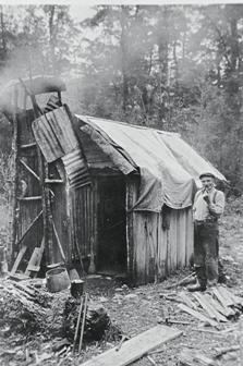
Significant coal deposits have been found in the Paparoa Range, with the Blackball Branch/Roa Incline and the Rewanui Branch railways built to provide access to the mines. Although these branch lines are now closed, they were famous for their usage of the Fell mountain railway system to aid braking for trains descending the Inclines (though this was not a full use of the Fell system like the North Island's Rimutaka Incline).
Numerous species of flora and fauna are found in the Paparoa Range, as well as lower slopes and valleys below. One of the significant understory elements of the floral palette is the fern Blechnum discolor.
The highest peak in the Paparoa Range is Mount Uriah at 1,501 m (4,925 ft), and a number of other peaks are higher than 1,200 m. The Papahaua Range north of the Buller Gorge is a geological continuation of the Paparoa Range.