
Population 141 (2006 census) Postcode(s) 6384 Founded 1913 | Established 1913 Elevation 344 m Postal code 6384 | |
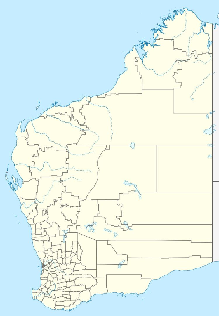 | ||
Location 191 km (119 mi) East of Perth26 km (16 mi) East of Quairading36 km (22 mi) South of Kellerberrin | ||
Pantapin in a small town in the Wheatbelt region of Western Australia.
Map of Pantapin WA 6384, Australia
The town originated as a railway siding that was planned in 1912 as part of the Quairading to Bruce Rock line. The town was initially named Ulakain, after a nearby well, and was gazetted under that name in 1914.
The name proved problematic and was changed in 1921.
References
Pantapin, Western Australia Wikipedia(Text) CC BY-SA