
Country United States Time zone CST (UTC-6) Local time Tuesday 10:24 PM | Established Unknown Area 94.48 km² Population 353 (2010) | |
 | ||
Weather 2°C, Wind NE at 18 km/h, 79% Humidity | ||
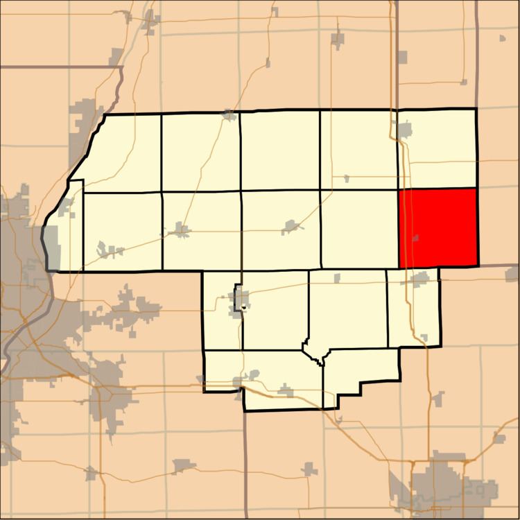
Panola Township is located in Woodford County, Illinois at T27N, R2E. As of the 2010 census, its population was 353 and it contained 144 housing units. Panola Township and Minonk Township (T28N, R2E) were originally the same township, but formed two new townships on an unknown date.
Contents
Map of Panola Township, IL, USA
Geography
According to the 2010 census, the township has a total area of 36.48 square miles (94.5 km2), of which 36.44 square miles (94.4 km2) (or 99.89%) is land and 0.03 square miles (0.078 km2) (or 0.08%) is water.
References
Panola Township, Woodford County, Illinois Wikipedia(Text) CC BY-SA