
Country India Area 7,135 km² | Headquarters Panna, India Major highways NH 75 Local time Wednesday 8:32 AM | |
 | ||
Weather 26°C, Wind SW at 5 km/h, 33% Humidity Points of interest Pandav Fall, Mandir, Panna Tiger Researve Entry Gate, Nachna Kuthara University Government Girls P.G. College | ||
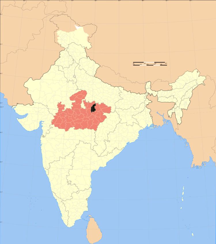
Panna district is a district of the Sagar Division, within the Madhya Pradesh state in central India. The town of Panna is the district headquarters.
Contents
- Map of Panna Madhya Pradesh
- History
- Geography
- Economy
- Gram panchayats under Panna district
- Demographics
- Languages
- References
Map of Panna, Madhya Pradesh
History
Panna district was created in 1950, shortly after Indian independence, from the territory of several former princely states of British India, including the states of Panna, Jaso, most of Ajaigarh, and a portion of Paldeo. Panna District was part of the new Indian state of Vindhya Pradesh, which was merged into Madhya Pradesh on 1 November 1956.
Geography
Panna district lies between 23° 45' and 25° 10' north latitudes and 79° 45' and 80° 40' east longitudes. It has an area of 7,135 km2.
The Ken River flows through the district. The Pandav Falls and the Gatha Falls are located in the district. Panna National Park is a major tourist attraction in the district.
Economy
In 2006 the Ministry of Panchayati Raj named Panna one of the country's 250 most backward districts (out of a total of 640). It is one of the 24 districts in Madhya Pradesh currently receiving funds from the Backward Regions Grant Fund Programme (BRGF).
Gram panchayats under Panna district
This intermediate subdivisions are also called block, intermediate panchayat, tehsil or tahsil. Inside Panna district, there are the following five subdivisions:
Demographics
According to the 2011 census Panna District has a population of 1,016,028, roughly equal to the nation of Cyprus or the US state of Montana. This gives it a ranking of 442nd in India (out of a total of 640). The district has a population density of 142 inhabitants per square kilometre (370/sq mi) . Its population growth rate over the decade 2001-2011 was 18.62%. Panna has a sex ratio of 907 females for every 1000 males, and a literacy rate of 66.08%.
Languages
Among Panna's languages is Bundeli, which has a lexical similarity of 72-91% with Hindi (compared to 60% for German and English) and is spoken by about 78,00,000 people in Bagelkhand; and Bharia, a Dravidian language spoken by at least 200,000 members of the Bharia tribe and written in the Devanagari script.
Economy
Panna district is famous for its diamond mines located in a belt of about 80 km across the Panna town. In olden days the most productive mines were located in the village of Sukariuh. Nowadays, Majhagaon is the only active diamond mine in Asia.