
Country Burma Self-Administered Division Wa Elevation 1,042 m | Time zone MMT (UTC+6:30) Local time Wednesday 8:13 AM | |
 | ||
Weather 16°C, Wind W at 6 km/h, 63% Humidity | ||
Pangwaun Township, also known as Panwai and Panwine, is a township of the Wa Self-Administered Division of Shan State, formerly and conterminously part of Hopang District. Prior to 2011, it belonged to Lashio District. Its main town is Pangwaun.
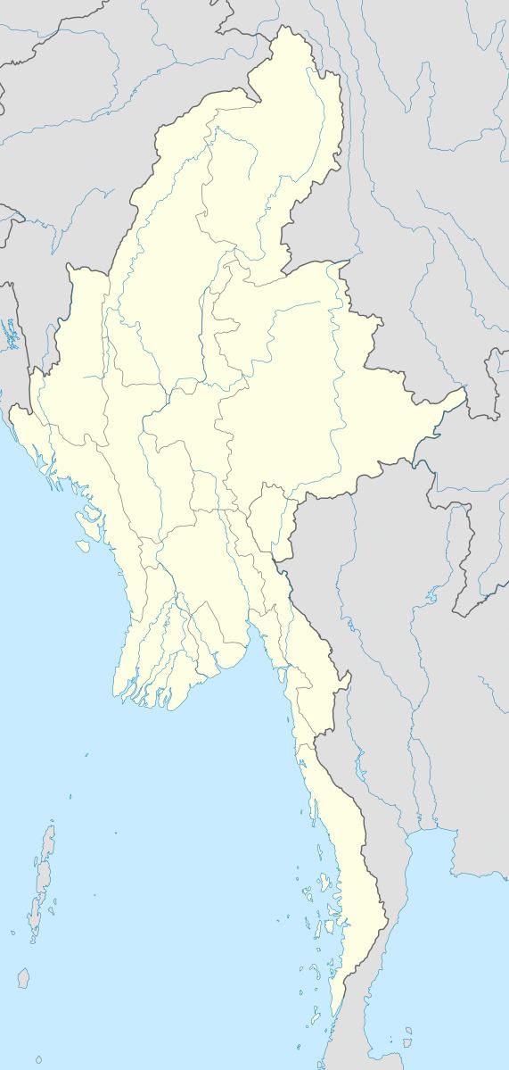
Map of Pangwaun, Myanmar (Burma)
The total population before 1995 was 33,418 and Wa people were 25,526 out of total.
Pangwaun Constituency for People Assembly and Shan State Assembly was excluded in General Election of 2010.
References
Pangwaun Township Wikipedia(Text) CC BY-SA