
Country Philippines Time zone PST (UTC+8) Area 416.7 km² Province Tawi-Tawi | Barangays ZIP code 7501 Local time Wednesday 9:29 AM | |
 | ||
Region Autonomous Region in Muslim Mindanao (ARMM) District Lone district of Tawi-Tawi Weather 27°C, Wind E at 11 km/h, 83% Humidity Neighborhoods Bakung, Malaka, Pahahpatan, Bagsac | ||
Panglima Sugala (formerly known as Balimbing) is a third income class municipality in the province of Tawi-Tawi, Philippines. According to the 2015 census, it has a population of 44,184 people.
Contents
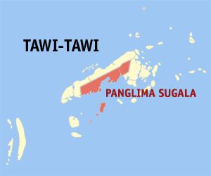
Map of Panglima Sugala, Tawi-Tawi, Philippines
The municipality's barangay Batu-batu was once the provincial capital of Tawi-Tawi until it was transferred in the municipality of Bongao in 1979.
The municipality was renamed from Balimbing to Panglima Sugala as per Muslim Mindanao Autonomy Act No. 7, enacted on July 4, 1991, and approved by the Regional Governor on September 9, 1991.
Barangays
Panglima Sugala is politically subdivided into 17 barangays.
References
Panglima Sugala, Tawi-Tawi Wikipedia(Text) CC BY-SA