
Country India District West Godavari Nearest city Eluru | State Andhra Pradesh Time zone IST (UTC+5:30) Local time Wednesday 6:51 AM | |
 | ||
Weather 26°C, Wind E at 2 km/h, 93% Humidity | ||
Pangidigudem is a village of 5,000 people in West Godavari, Andhra Pradesh, India. It is located near Dwarakatirumala, the mandal. The economy is based on agriculture. The village has a pleasant location among three hills and with a nearby canal that is in full flow in the rainy season. The village has two primary schools and one high school. Many students passed out from these schools choose engineering or chemistry for careers. Pangidigudem was under jamindary system previously. Still there is a fort from where they have ruled. Total area of pangidigudem is 2,170 hectares (5,400 acres). The Zamindars are related to vallur samsthanam the Zamindar family which was so stable in krishna west godavari districts for 300 years. Pangidigudem is surrounded by two ponds and agricultural lands and interesting political scenarios.
Contents
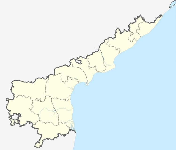
Map of Pangidigudem, Andhra Pradesh
Route
The village can be reached from Eluru by road. It is 28 km away and road connectivity is very good Bhimadole and sitampet are nearest railway stations however Rajhamundry and Eluru are major stations nearer from Pangidigudem.