
Country Thailand Time zone THA (UTC+7) Geocode 6209 Population 30,591 (2005) | Seat Pho Thong Postal code 62120 Area 756 km² Province Kamphaeng Phet Province | |
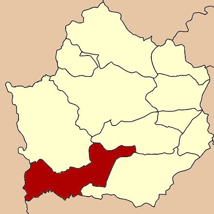 | ||
Pang Sila Thong (Thai: ปางศิลาทอง) is the southwesternmost district (Amphoe) of Kamphaeng Phet Province, central Thailand.
Contents
Map of Pang Sila Thong District, Kamphaeng Phet, Thailand
History
The government split Tambon Pang Ta Wai, Hin Dat and Pho Thong from Khlong Khlung district and created the minor district (King Amphoe) Pang Sila Thong on May 31, 1993. It was upgraded to a full district on October 11, 1997.
The name Pang Sila Thong stands for the three tambon comprising the district - Pang for Pang Ta Wai, Sila for Hin Dat and Thong for Pho Thong.
Geography
Neighboring districts are (from the north clockwise) Khlong Lan, Khlong Khlung, Khanu Woralaksaburi of Kamphaeng Phet Province, Mae Wong of Nakhon Sawan Province and Umphang of Tak Province.
Administration
The district is subdivided into 3 subdistricts (tambon), which are further subdivided into 42 villages (muban). There are no municipal (thesaban) areas, and 3 Tambon administrative organizations (TAO).