
OS grid reference SH857642 Sovereign state United Kingdom Postcode district LL22 Local time Wednesday 12:27 AM Dialling code 01745 Welsh assembly Clwyd West | Country Wales Post town ABERGELE | |
 | ||
Weather 1°C, Wind E at 10 km/h, 97% Humidity | ||
Pandy tudur
Pandy Tudur is a village in Conwy county borough, in the north-west of Wales, and lies some 5 miles NE of Llanrwst.
Contents
Map of Pandy Tudur, Abergele, UK
It takes its name from the pandy (or fulling mill) which was located there.
According to the United Kingdom Census 2001, 55.5% of the population speak the Welsh language. The highest percentage of speakers is within the 5-9 age group, where 71.1% can speak the language. Children in the village mostly attend a small Welsh primary school in the nearby village of Llangernyw.
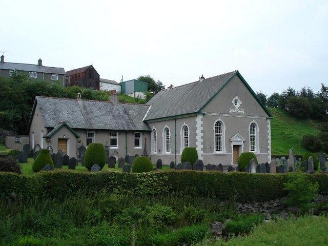
The village has a parish church.
Nearby lie the turbines of Moel Maelogan wind farm.
References
Pandy Tudur Wikipedia(Text) CC BY-SA