
 | ||
University Universitas Siswa Bangsa Internasional | ||
Soho pancoran south jakarta project progress video january 2017
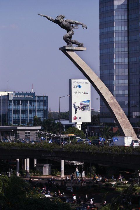
Pancoran is a subdistrict of South Jakarta, one of the five administrative cities which form Jakarta, Indonesia. Pancoran Subdistrict was originally part of Mampang Prapatan Subdistrict until it was divided in 1985.
Contents
- Soho pancoran south jakarta project progress video january 2017
- Map of Pancoran South Jakarta City Jakarta Indonesia
- Project progress soho pancoran south jakarta december 2016
- Kelurahan Administrative Villages
- List of important places
- References
Map of Pancoran, South Jakarta City, Jakarta, Indonesia
The boundaries of Pancoran Subdistrict are Ciliwung River to the east, Mampang River to the west, and Kapten Tendean Road - Jend. Gatot Subroto - Letjen. Haryono MT. Tollway to the north.
Project progress soho pancoran south jakarta december 2016
Kelurahan (Administrative Villages)
The Subdistrict of Pancoran is divided into six kelurahan or administrative villages:
List of important places
References
Pancoran, South Jakarta Wikipedia(Text) CC BY-SA